GeoGuessing My Grandparents
In which I attempt to retrace a journey from 50 years ago...
As I alluded to in a previous dispatch, I've recently finally gotten around to scanning and archiving old family photos/slides/negatives that I'd collected from my grandparents' house before they could be tossed after their passings. Most of these are photos of family members at various occasions that are, honestly, uninteresting unless you're a member of my family (and, even then...). Among these, however, are some treasures, such as a large set of slides from the time my grandparents went to Europe and toured France, Germany, the Netherlands and the UK. Or, as I'll focus on in this dispatch, the time they drove from South Texas to Alaska.
Having been to Alaska a couple of times, these intrigued me as I connected with them on a more-personal level and I found myself wanting to know more about this adventure. What route did they travel? What did they see? How long did it take? All questions that I needed answers to. Unfortunately, because these photos were shot on slide film, before there were camera phones or digital cameras, time and location-specific data just isn't available for these photos. So, like a difficult game of GeoGuesser, I'd have to do sleuthing the "old-fashioned way", with Google Lens and Maps.
First, let's set some boundaries for this journey:
We know that the time period for the journey had to be sometime between roughly 1973 and 1977, based on a bit of evidence I'll get to later.
We know that they were living in Kingsville, Texas (home of the King Ranch, Reality Winner and not much else), at the time and that their ultimate destination was somewhere in the largest state, so that gives us couple of possible logical routes:
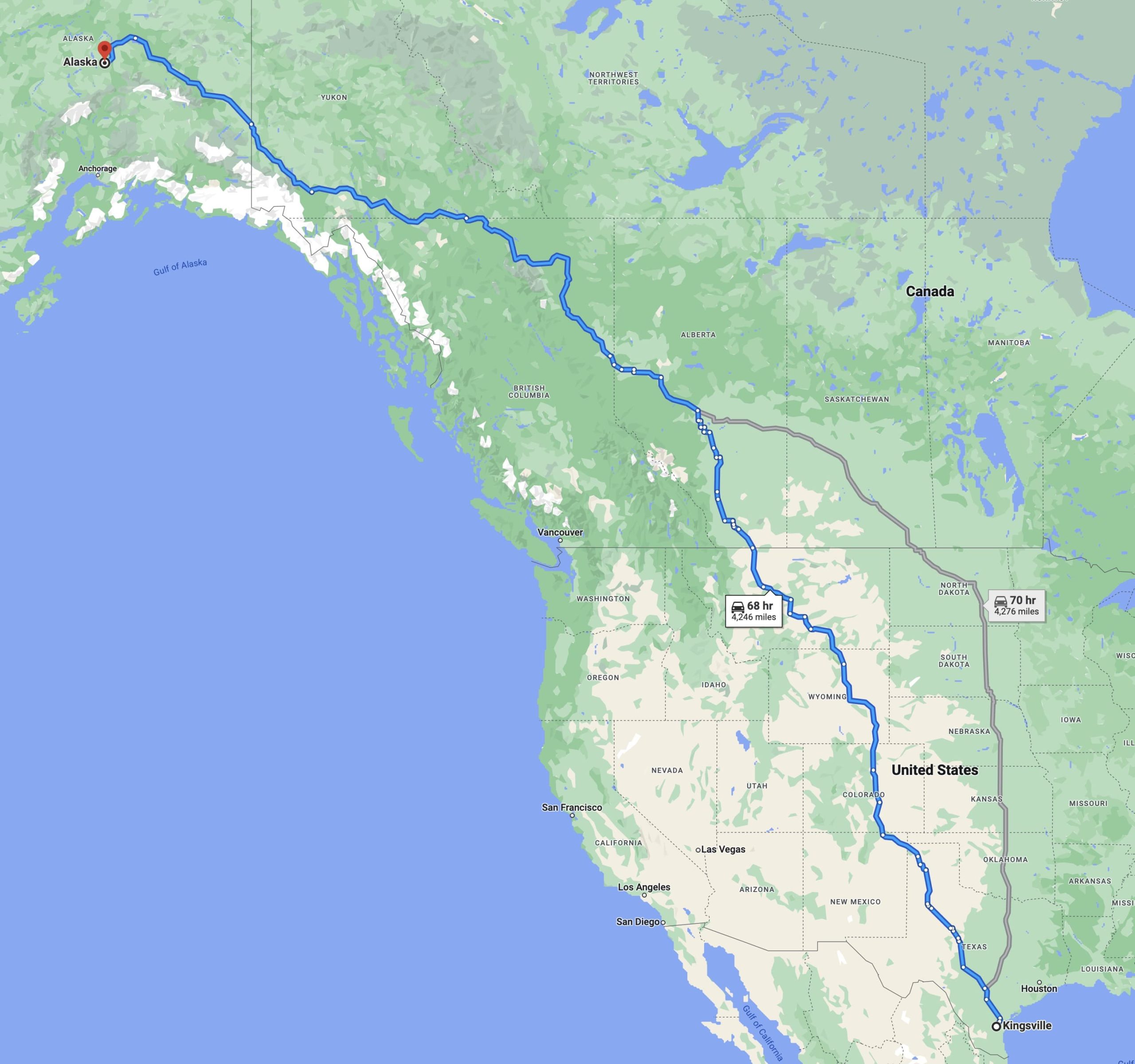
Note that these are both fairly-equidistant, though we have to remember that the Interstate Highway system wasn't completed at the time, so there must be some variation in the route, though in the west, modern highways tend to roughly follow the same routes as older byways.
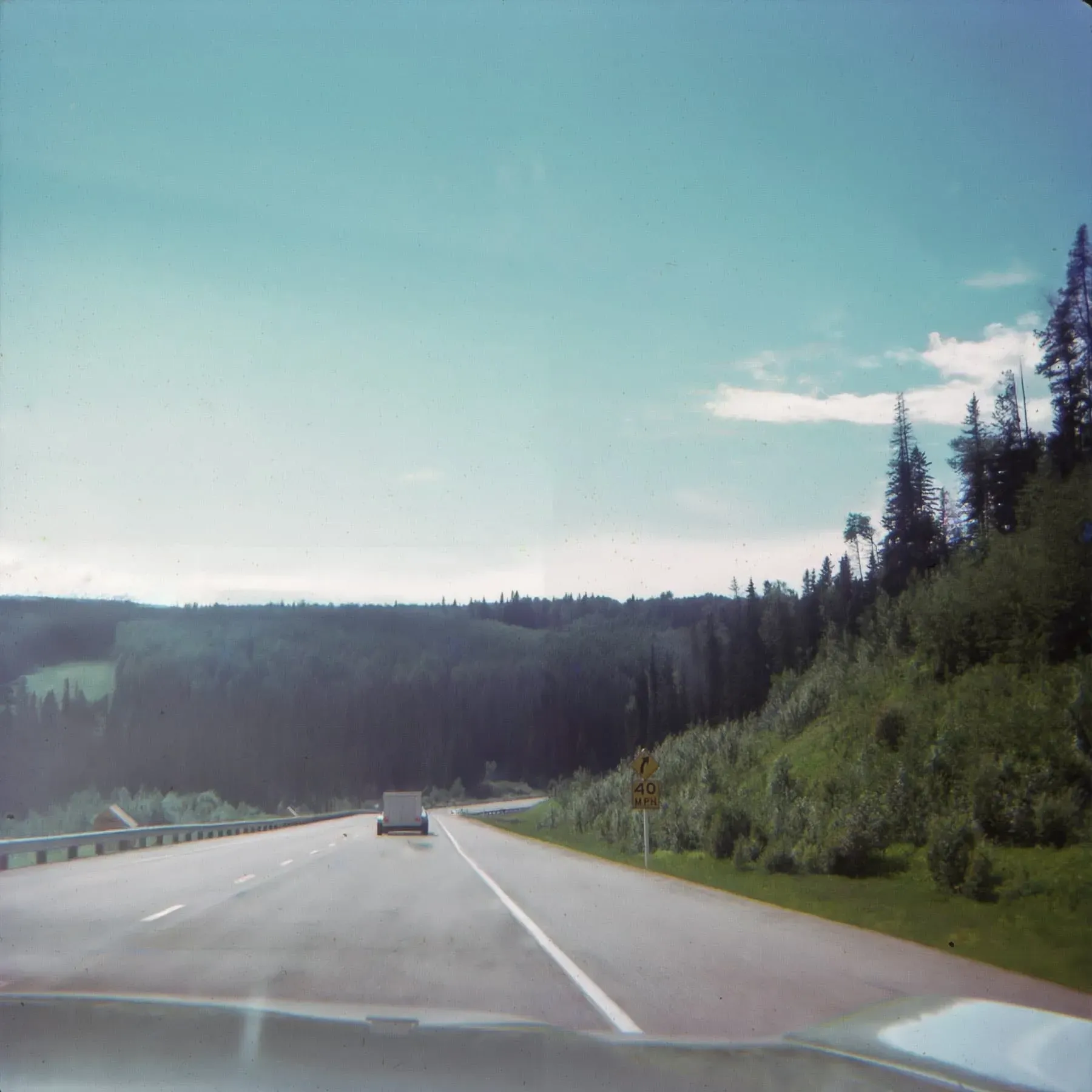
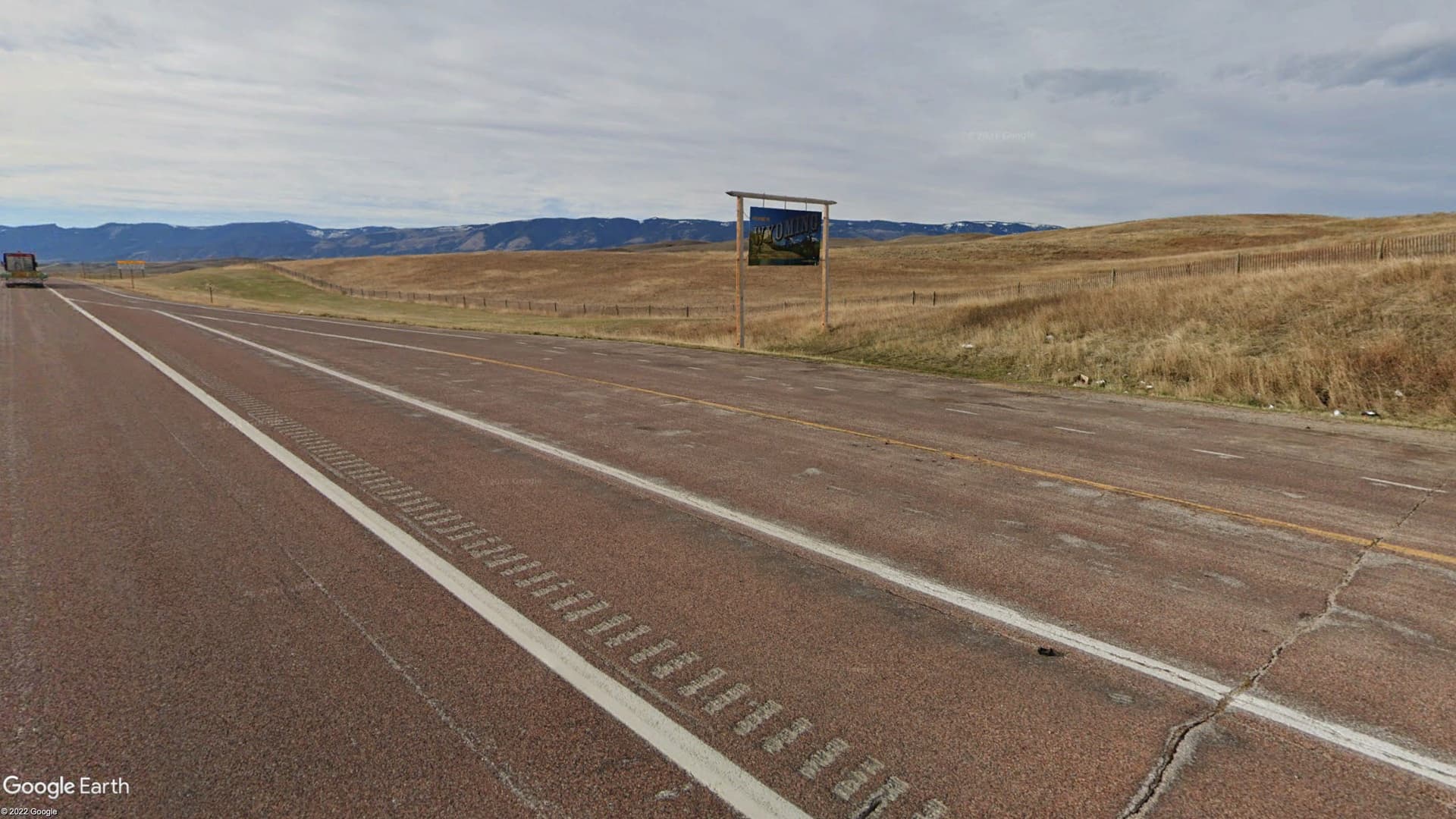
That said, we can be confident that they, at least on one leg of the journey, traveled through Wyoming based on this photo:
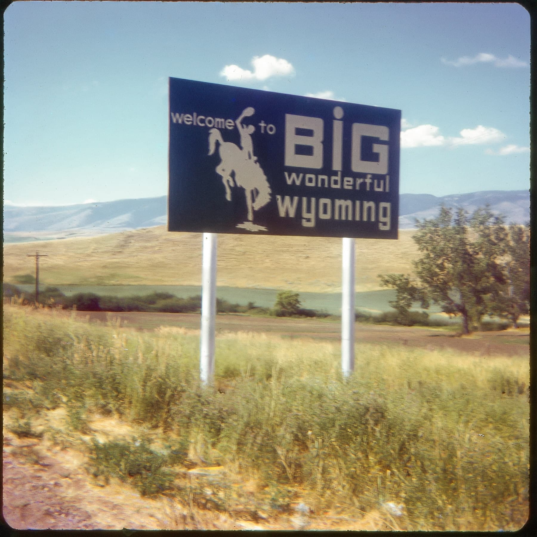
The environs here seem to nicely-match those of the modern Welcome to Wyoming sign along I-90/US-87 near Parkman as seen in this Google Streetview shot:
However, as they would've only encountered this sign on the south-bound journey, this must be on their way home. For simplicity and sanity, we're going to assume that they took the same route both ways—a roughly 10,000 mile (16,000 km) journey, which lets us calculate a rough estimate of their total drive time. Knowing my grandfather, he would've preferred to drive roughly 10 hours a day. If we assume a 50 mph average speed, which is only an educated estimate based on knowing that they would've encountered unimproved gravel roads in Alaska and parts of Canada and that they were towing a camper, we can do some quick calculations and get a rough approximation of 20 days total drive time (10000 miles/10 hours per day driving/50 mph). This might be wildly-inaccurate, but we're going to go with it. That gives us a bare-minimum journey time of 20 days, but we know that they didn't drive there, stop, take a look around, and drive back. So, maybe we be a bit more-generous and say that they drove 12 hours/day at 60 mph—that gives us around 14 days of driving...still a lot of time behind the wheel, so maybe we split the difference and go with 17 days total driving time, so a bit over 8 days there and 8 days back. This still gives us a bare-minimum journey time of 16 days (must be nice to be retired!).
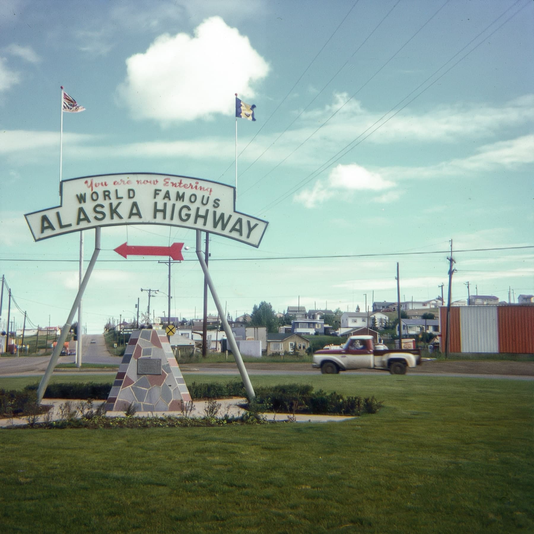
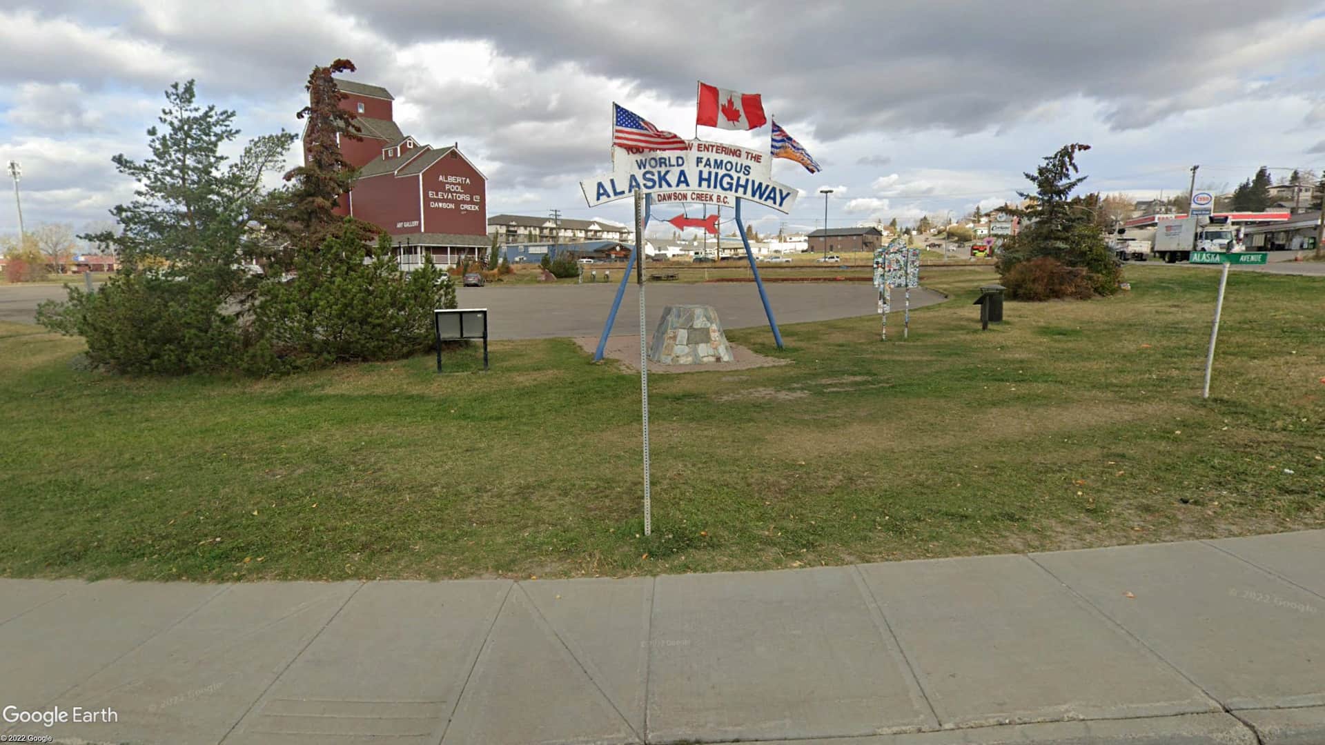
Next, we know that they did eventually make it to Dawson Creek[efn_note]Not to be confused with Dawson's Creek.[/efn_note], BC, as they helpfully took a photo of the starting point of the Alaska Highway (aka the Alcan Highway):
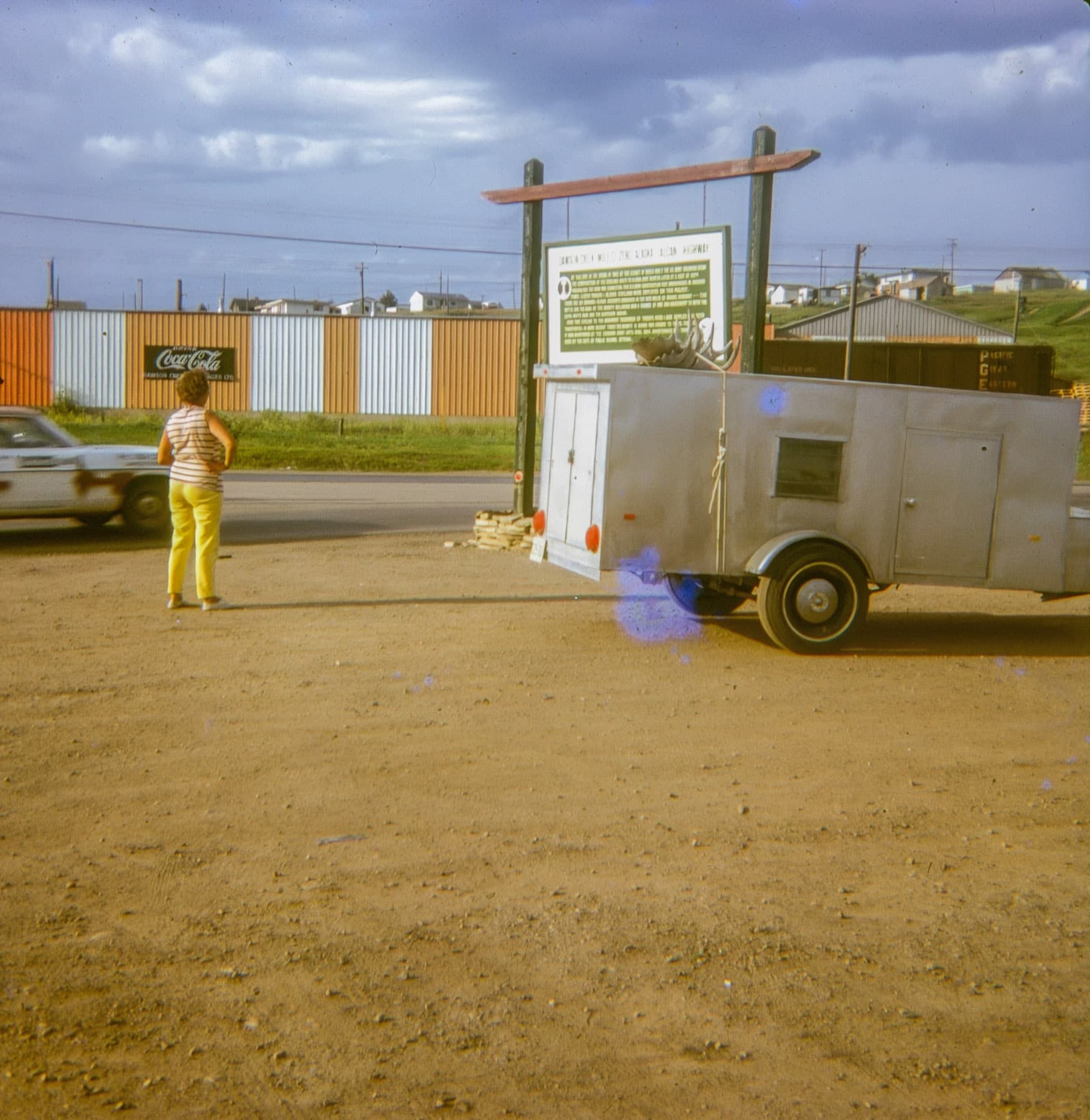
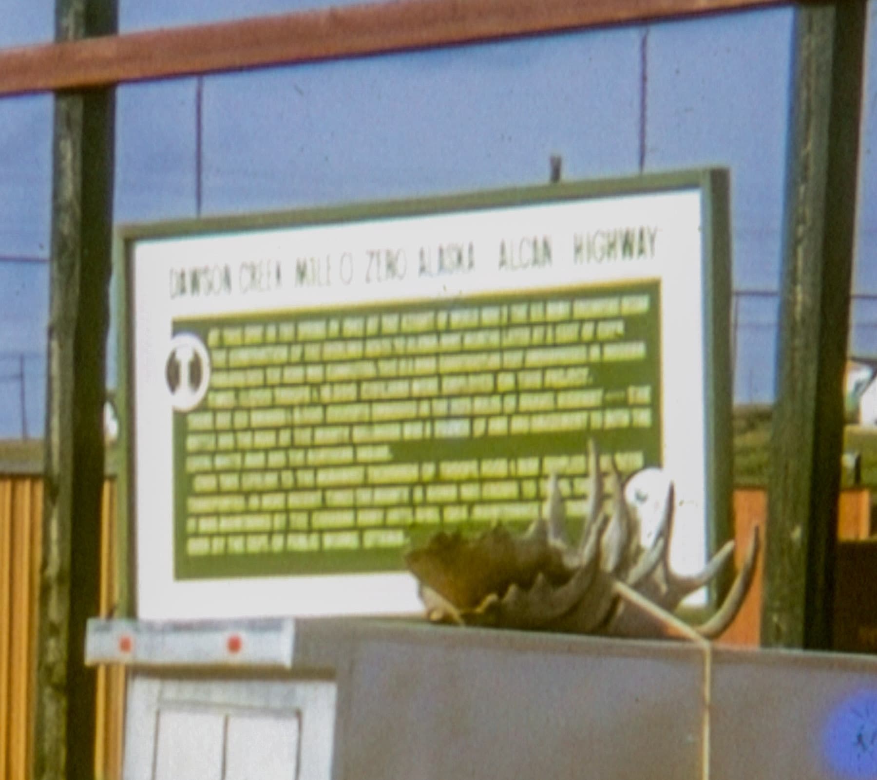
This next photo seems to be from the same vicinity, as zooming in on the sign reveals that it says "Dawson Creek Mile 0 Zero Alaska Alcan Highway":
Zoomed in a bit:
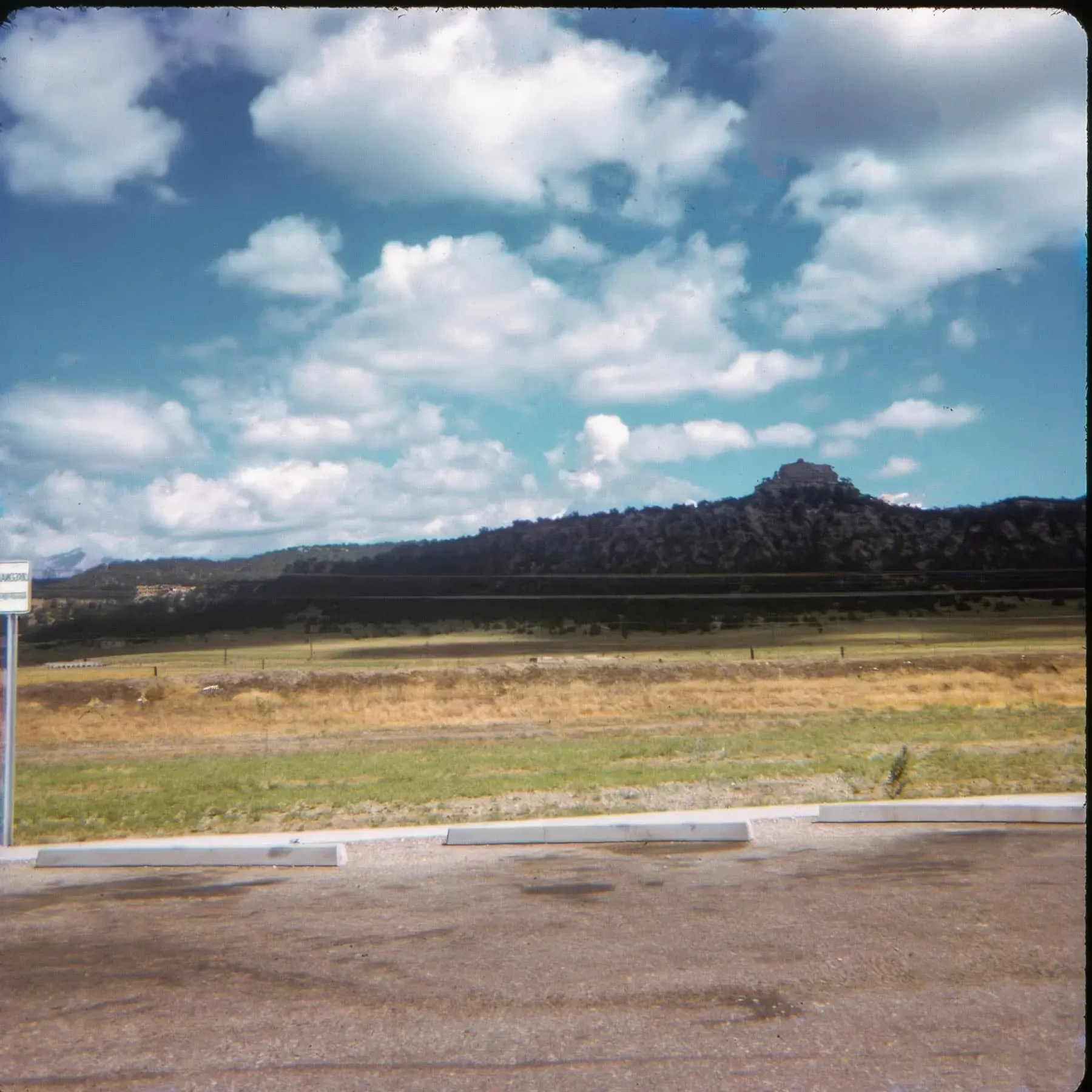
My gut feeling is that this photo was taken roughly in this location based on the hill in the background:
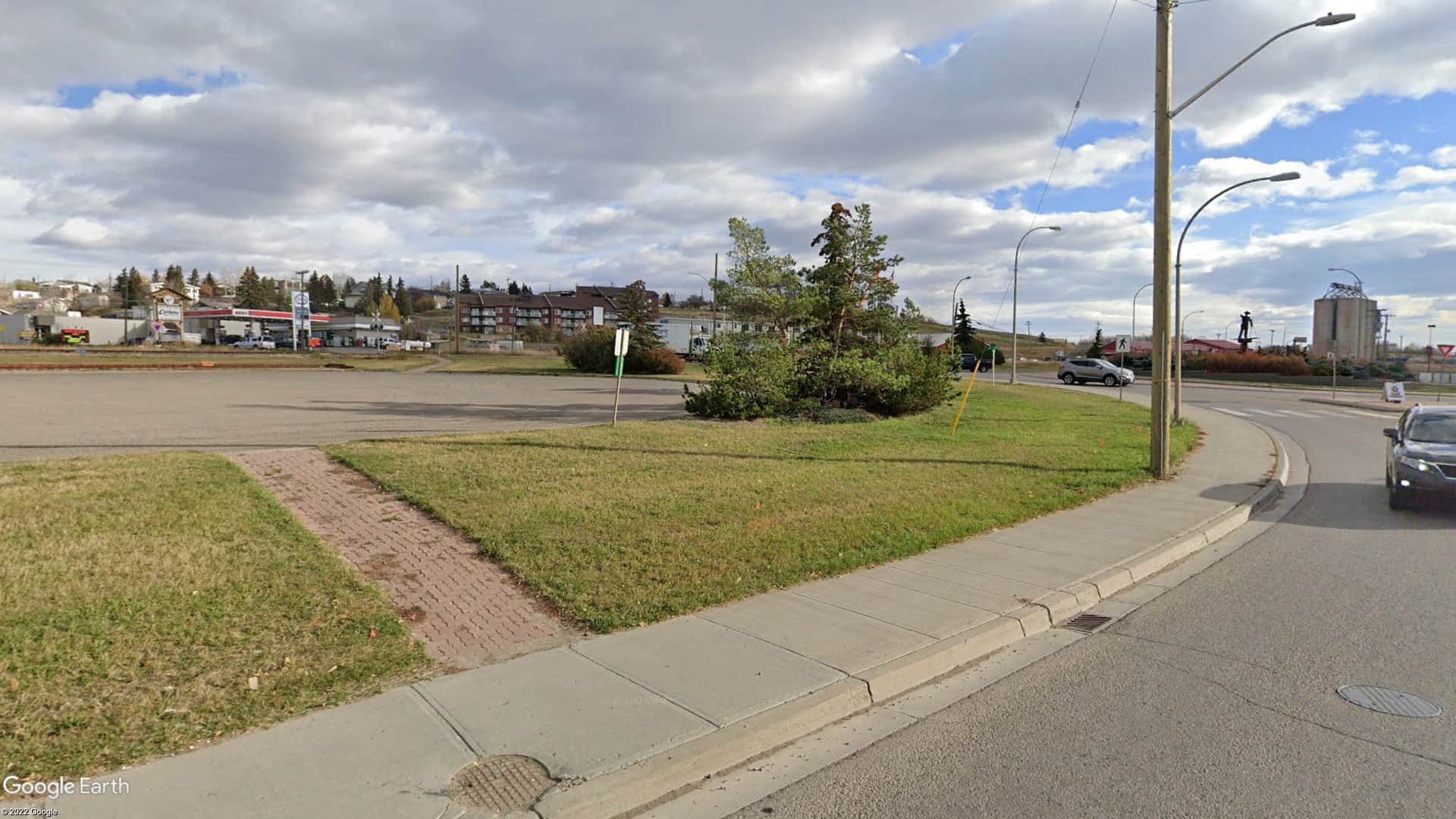
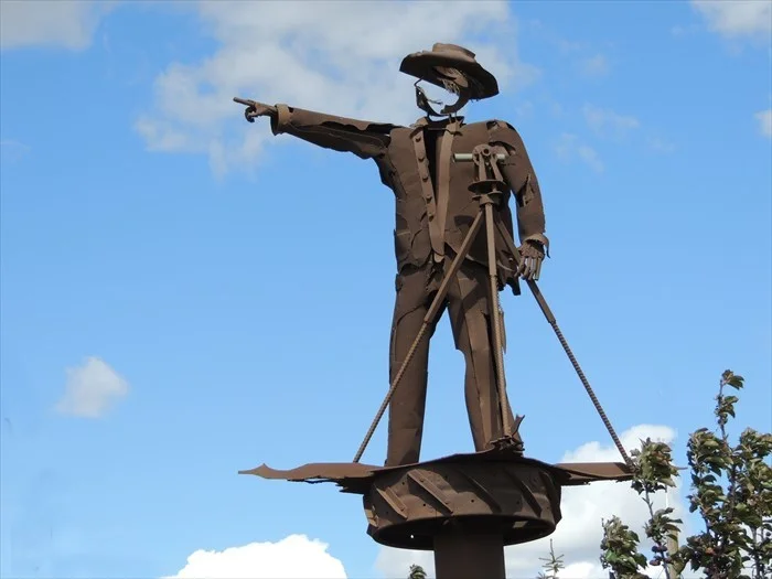
Interestingly, it seems that the marker was moved from the center of the roundabout to its periphery at some point in favor of a sculpture of a surveyor:
And, as part of the move, the stone marker was rebuilt and truncated:
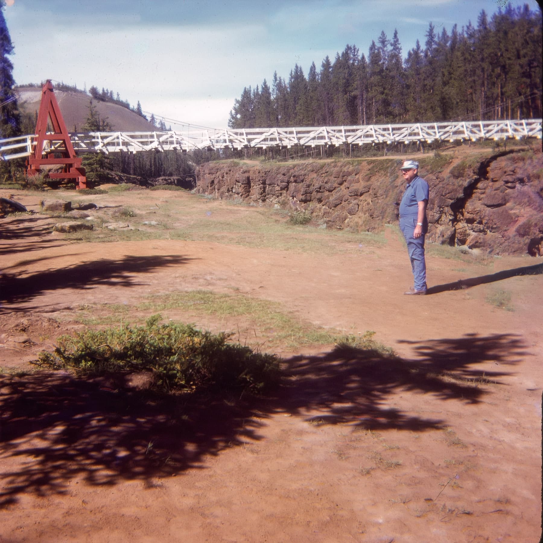
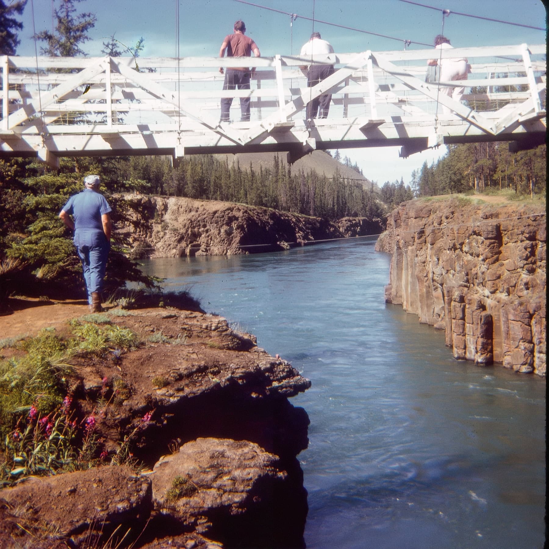
From there, we can deduce that they traveled the Alaska Highway up to Whitehorse, Yukon Territory for two reasons: 1) it's the logical route as the only other route to Alaska from Dawson Creek takes you way north and adds a lot of time and, 2), we have a couple of photos that I was able to identify as being of the Miles Canyon Suspension Bridge:
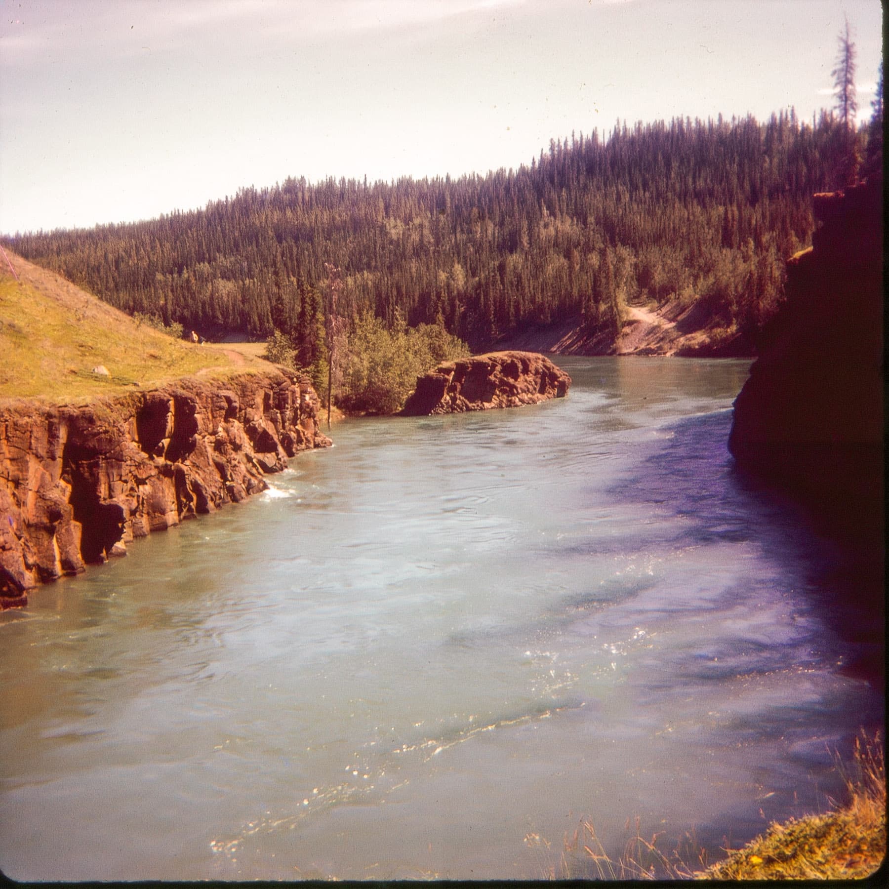
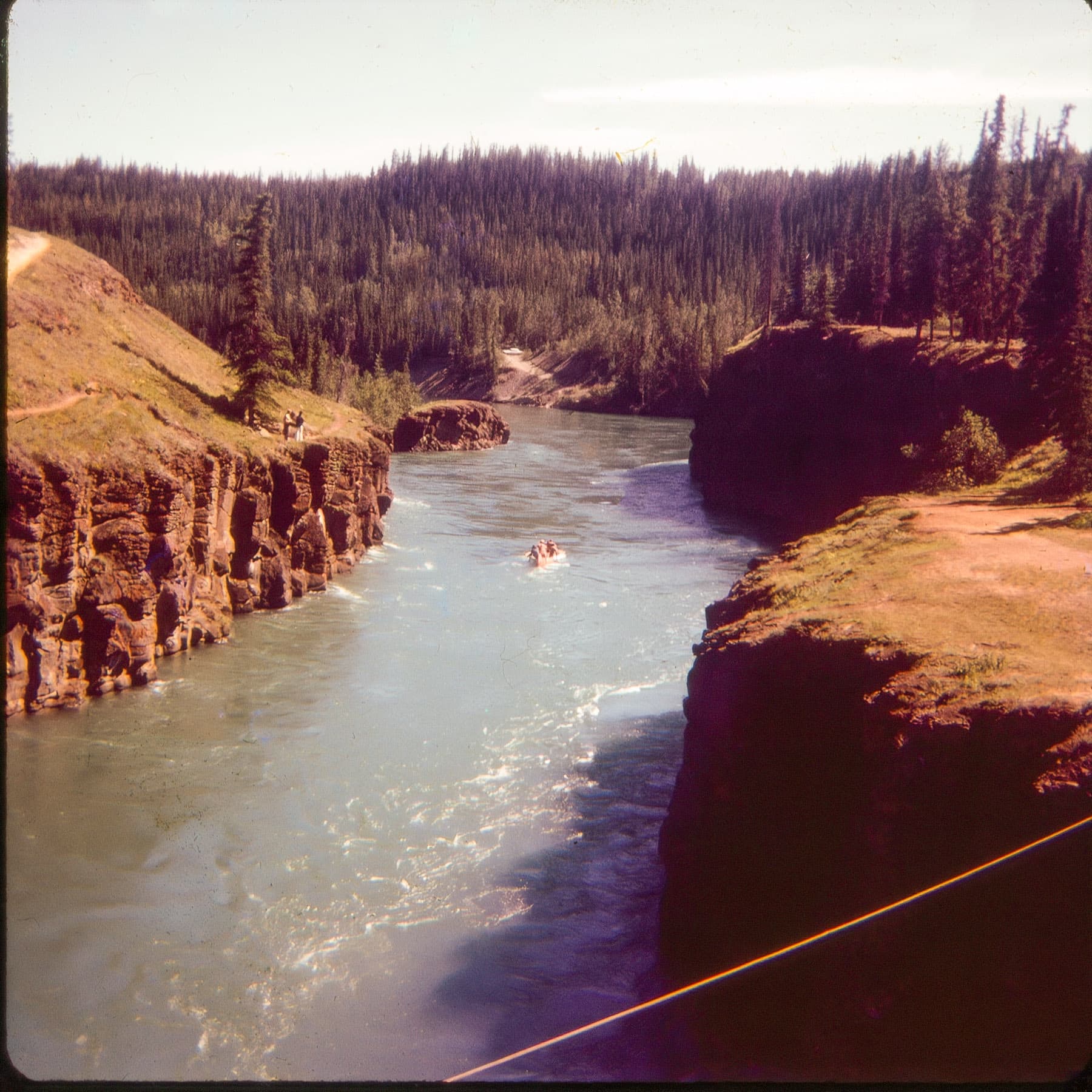
There are also a couple of photos that are of Miles Canyon (map link) itself:
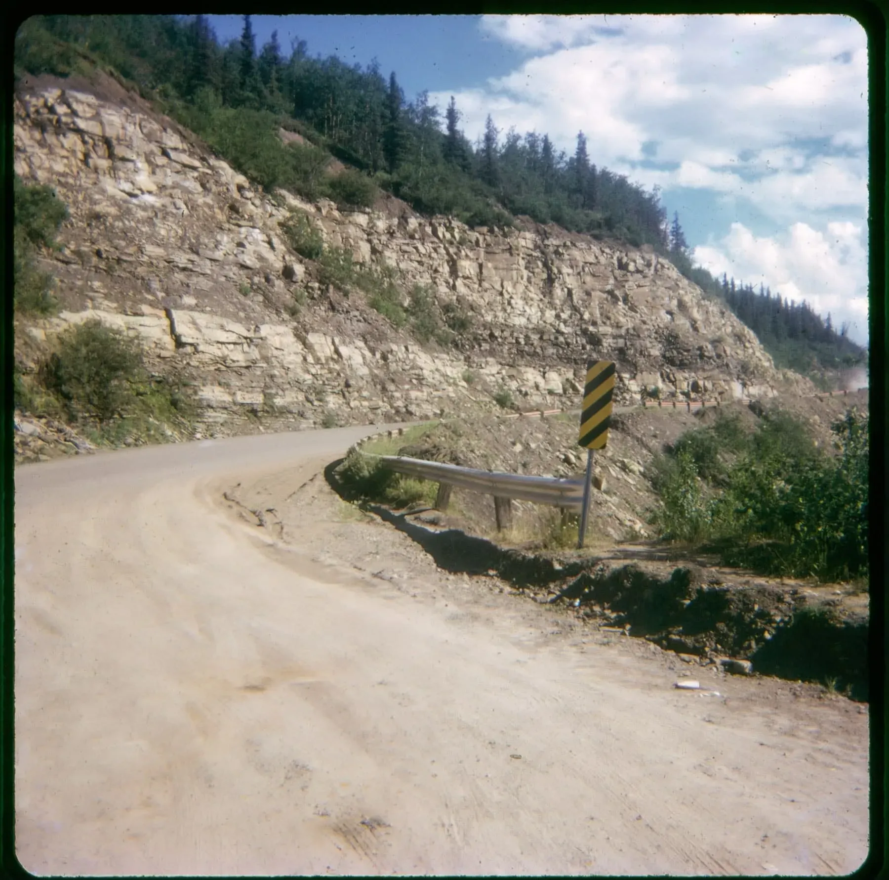
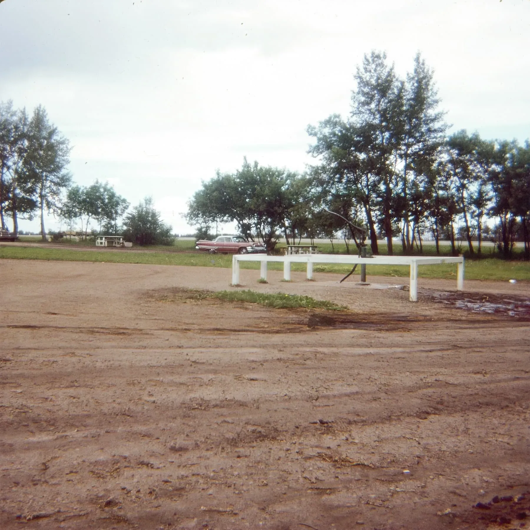
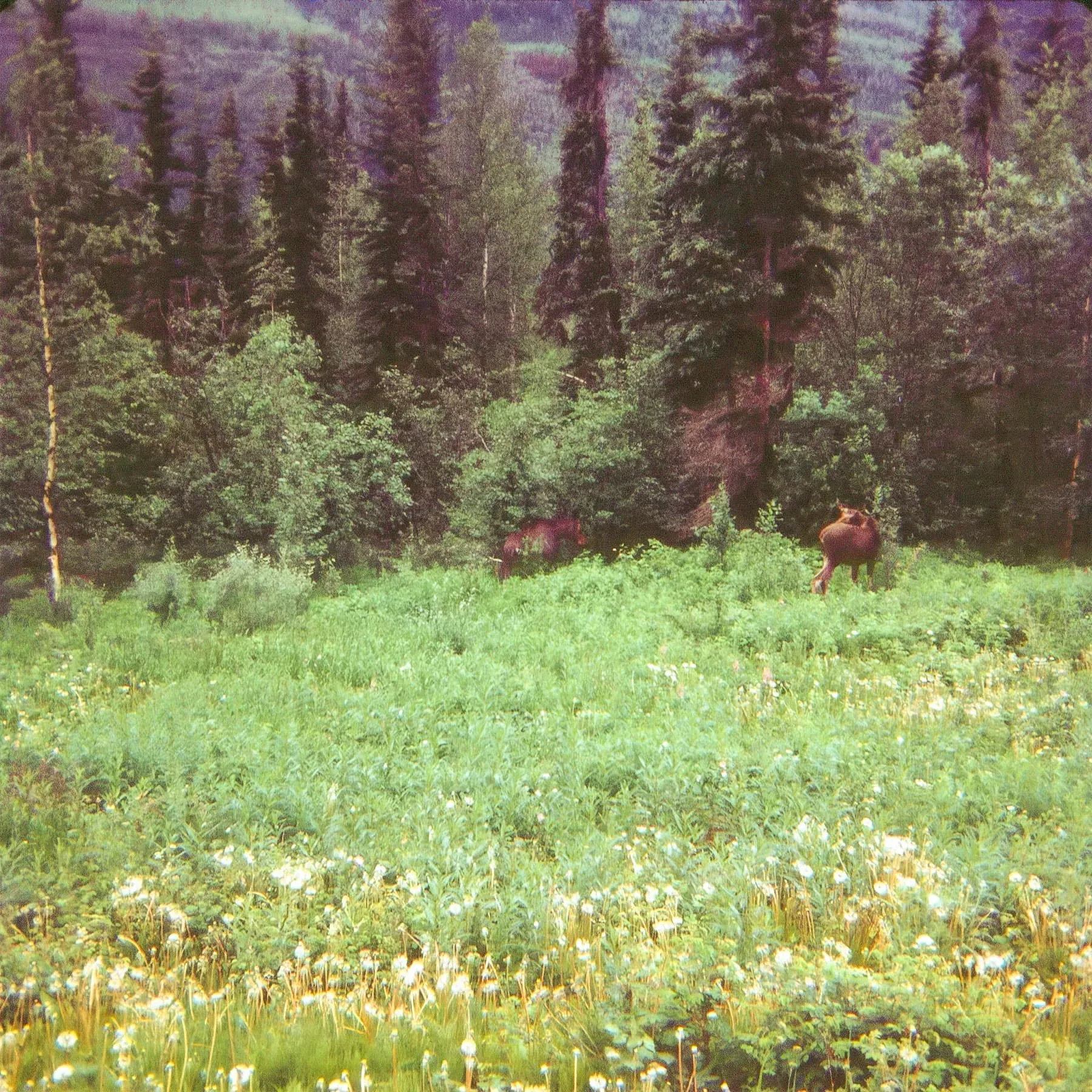
The next two photos are pure conjecture, but I believe that on the road between Dawson Creek and Whitehorse, they stopped at a roadside park near McClintock, YT, to stretch their legs and avoid angering this bear:
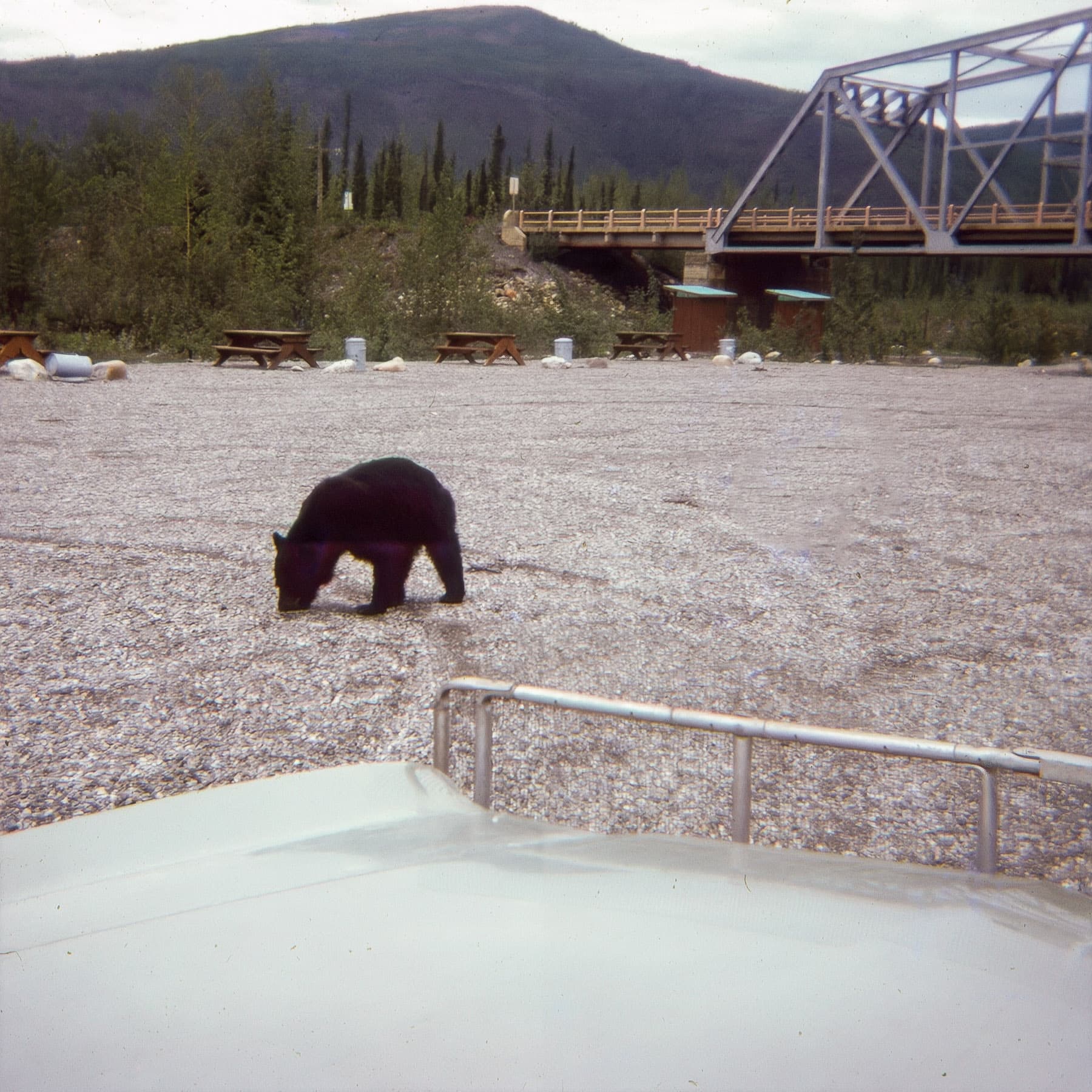
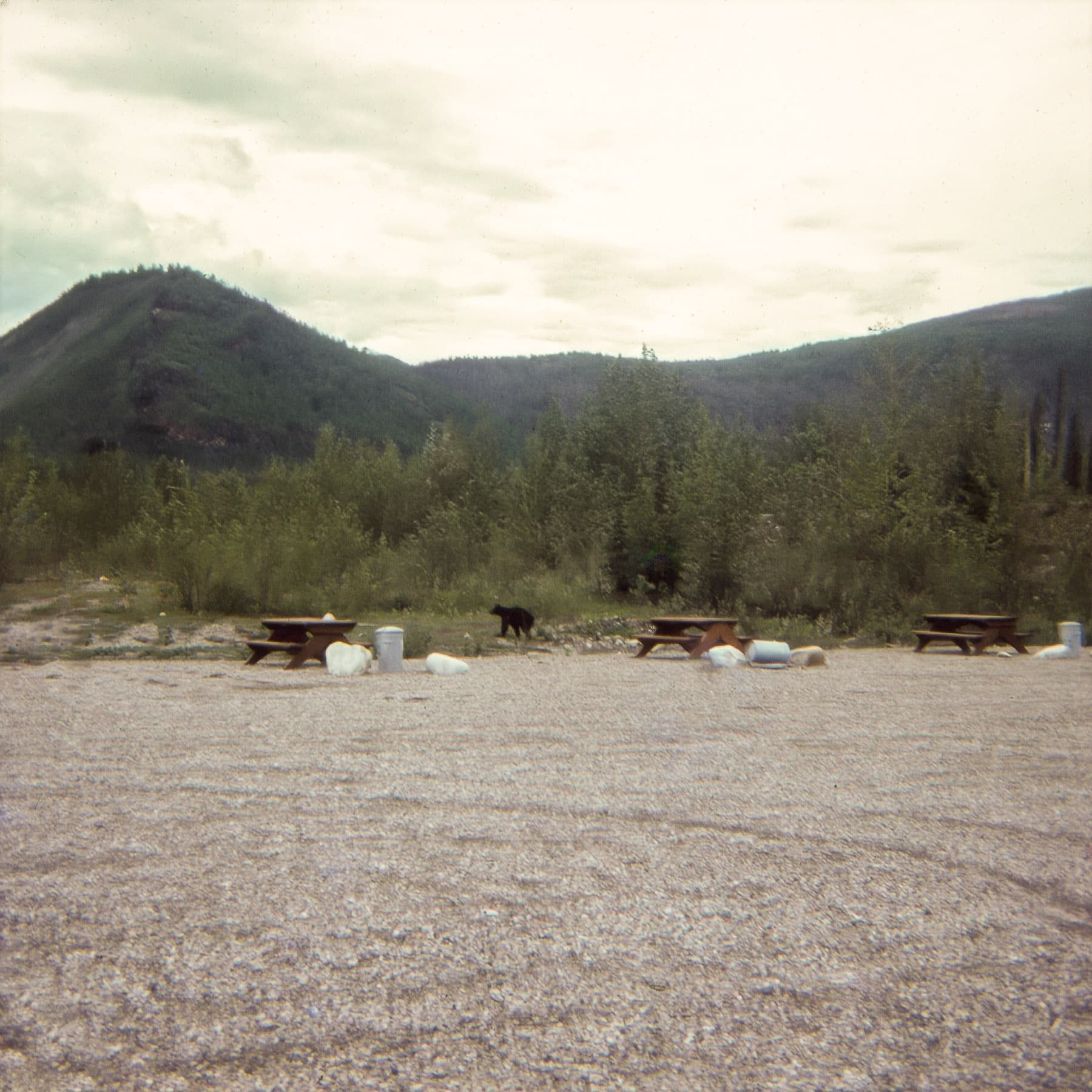
I have to admit that my evidence for this is flimsy at best, as they only reasoning I have is that this is the only bridge of this structure with an adjacent, graveled roadside park on the highway I could find:
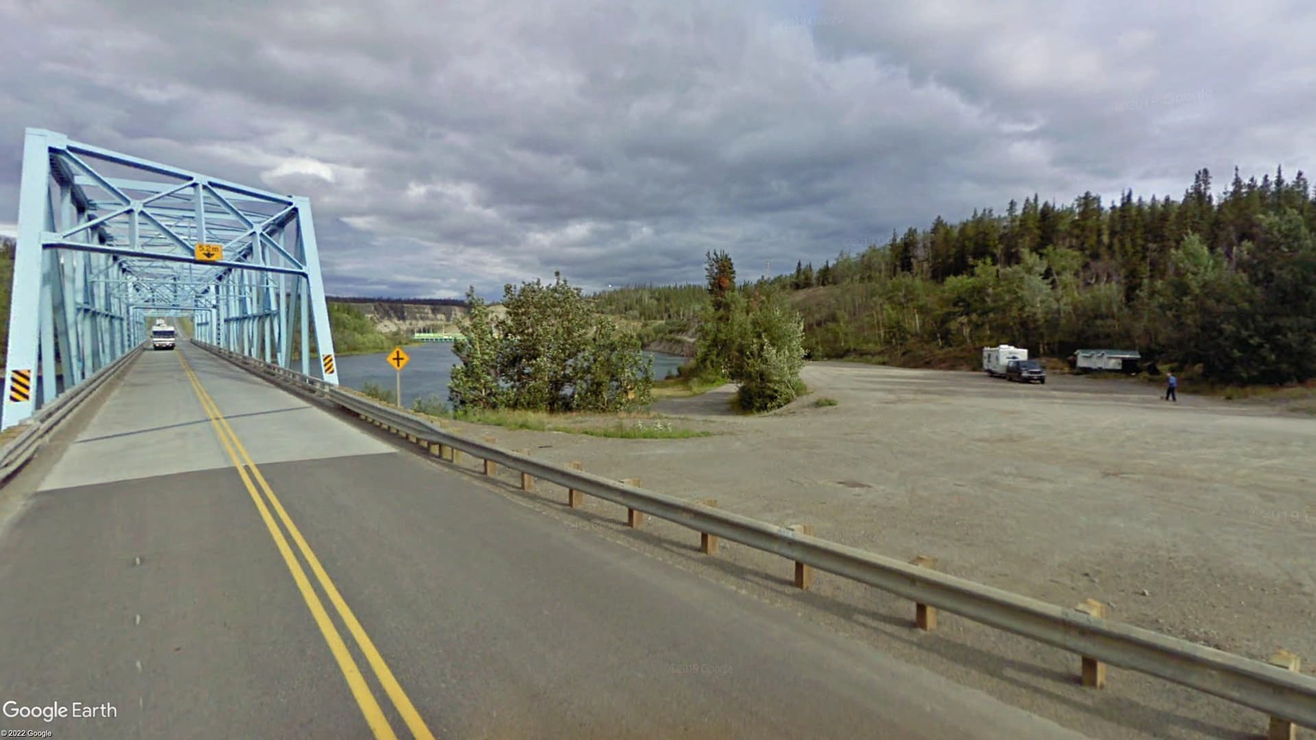
I'm probably completely wrong, as bridges are replaced and maybe I just didn't look hard enough, but I'm going to assume, for now, that I'm correct in my deduction.
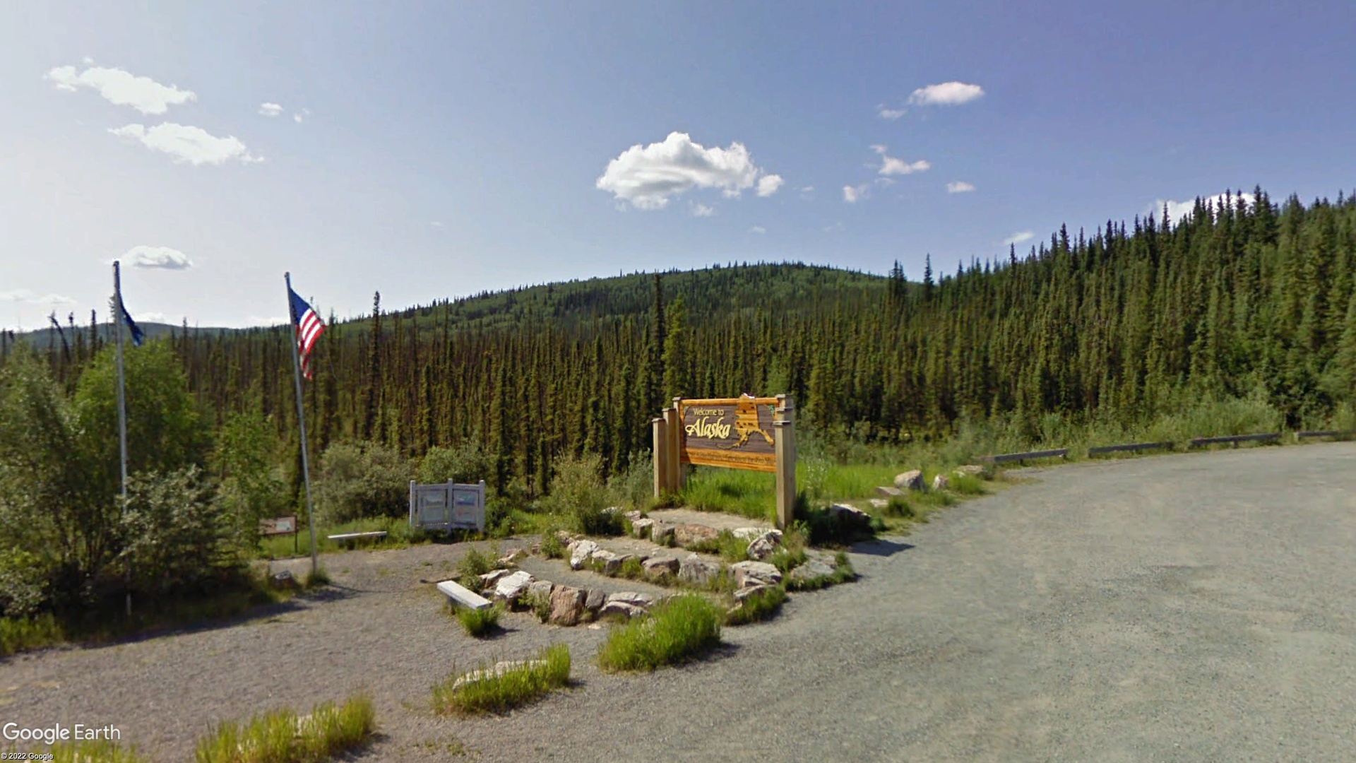
Eventually, they crossed the border from Canada back to the States at Alcan Border, Alaska.
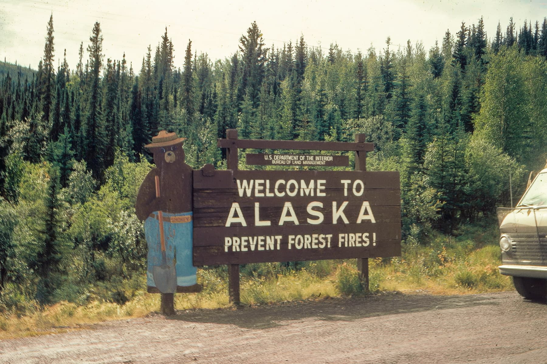
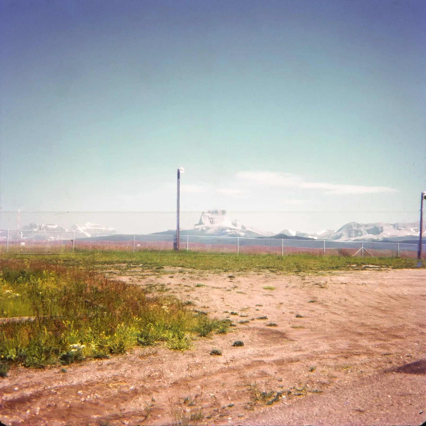
My supposition is that this sign used to be at this location, but in the intervening 50+ years has been replaced by something a bit more-modern:
There's another Alaska sign in their set whose location I can't pinpoint:
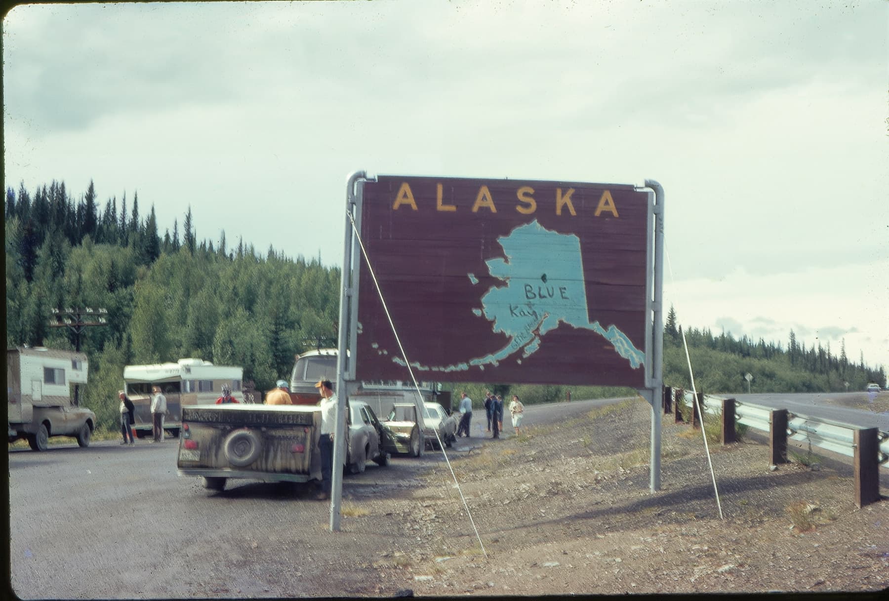
There are a few other photos of this sign online according to Google Lens, but, sadly, none mention a location or are geotagged. It could be somewhere near the border crossing or it could be deep in the interior. My guess is that it's near the border somewhere, but it's location has been lost to time.
At this point, their route gets fuzzy. Or fuzzier.
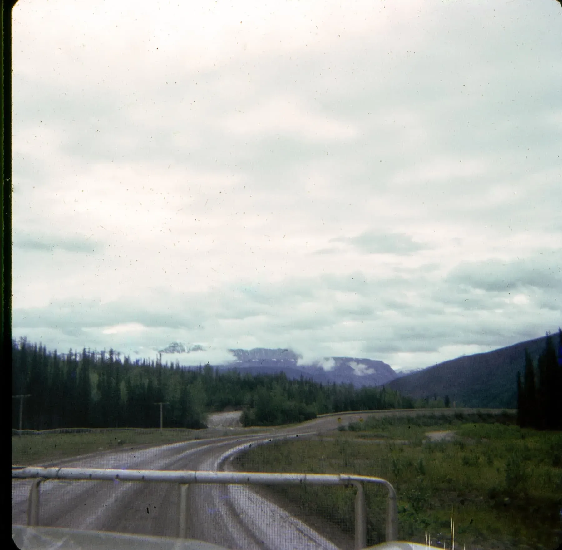
We know, based on this photo, that they visited (or at least drove by) Wrangell-St. Elias National Park:
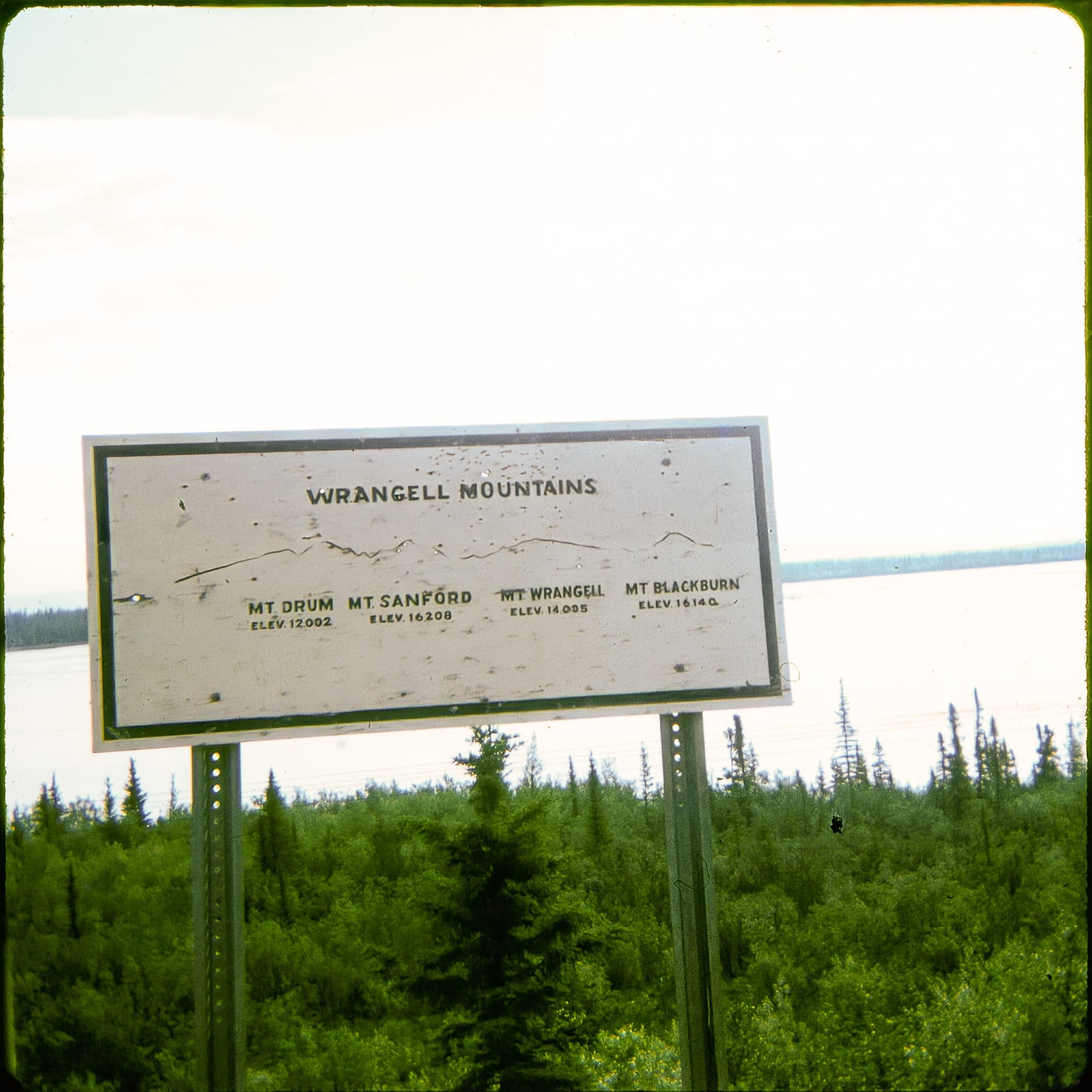
The only route that would've taken them through this area is the Richardson Highway, which is Alaska Route 4 for the portion that goes near Mt. Wrangell.
This makes sense, because Rt. 4 leads us to Valdez, which is how we can determine our time period for this journey:
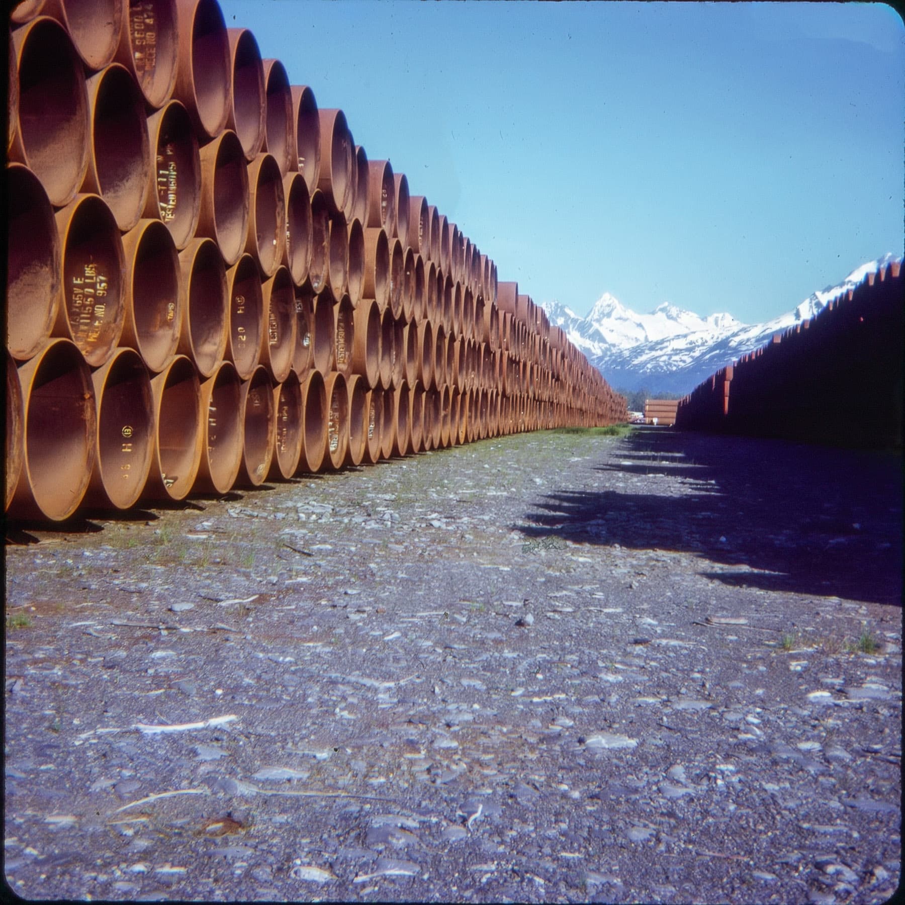
These are sections of pipe stacked in Valdez for construction of the Trans-Alaska Pipeline, which was built from 1974-77 from Valdez, which acted as a staging ground/port, to Prudhoe Bay in Northern Alaska. For my previously-stated timeline, I gave a leeway of two years prior, 1973, as being a lower-bound for dates as I wanted to give some leeway for construction preparation which, I assume, would include manufacturing the pipe in Japan and shipping it to Valdez, where it was offloaded and stored in preparation for construction.
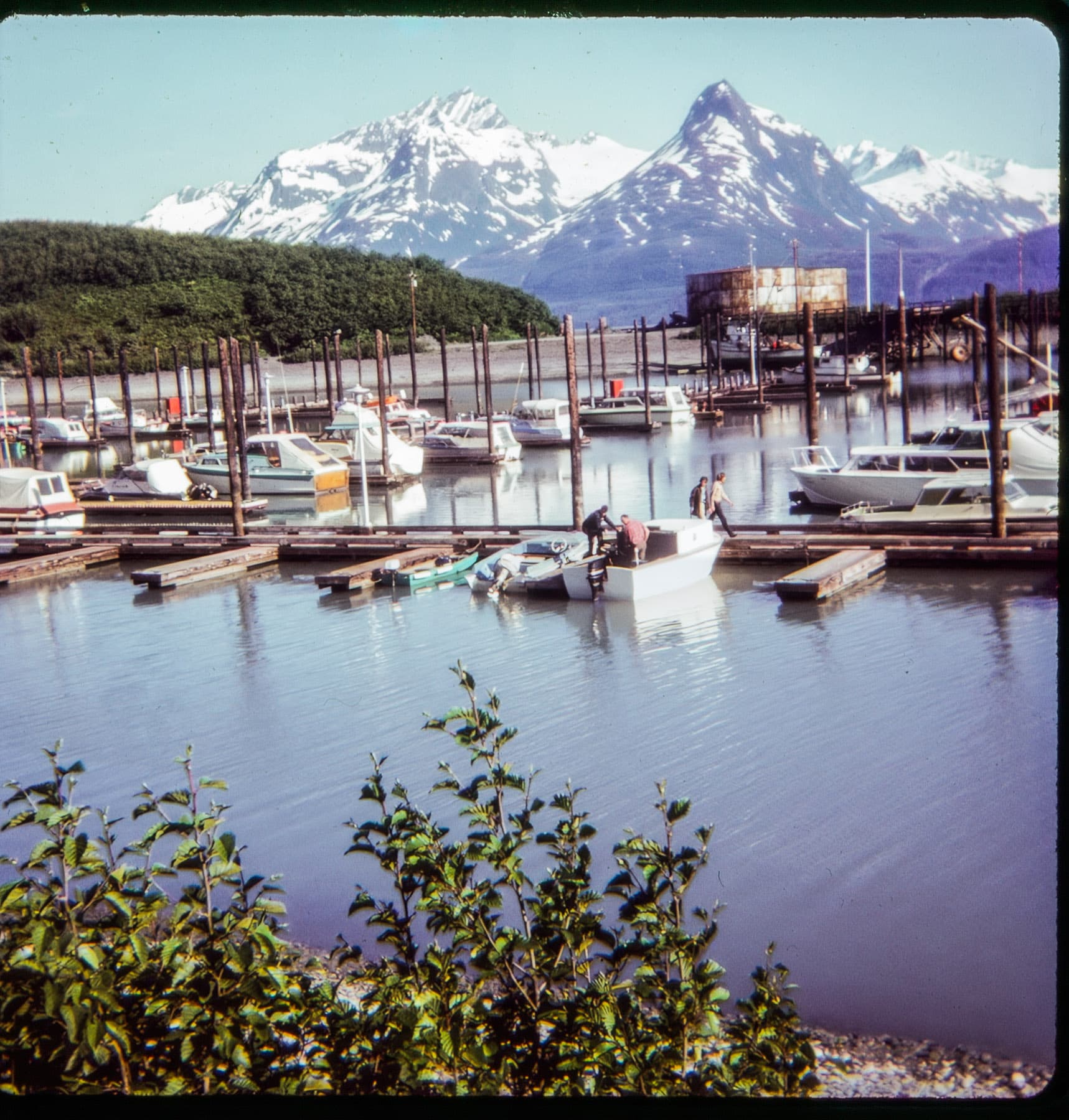
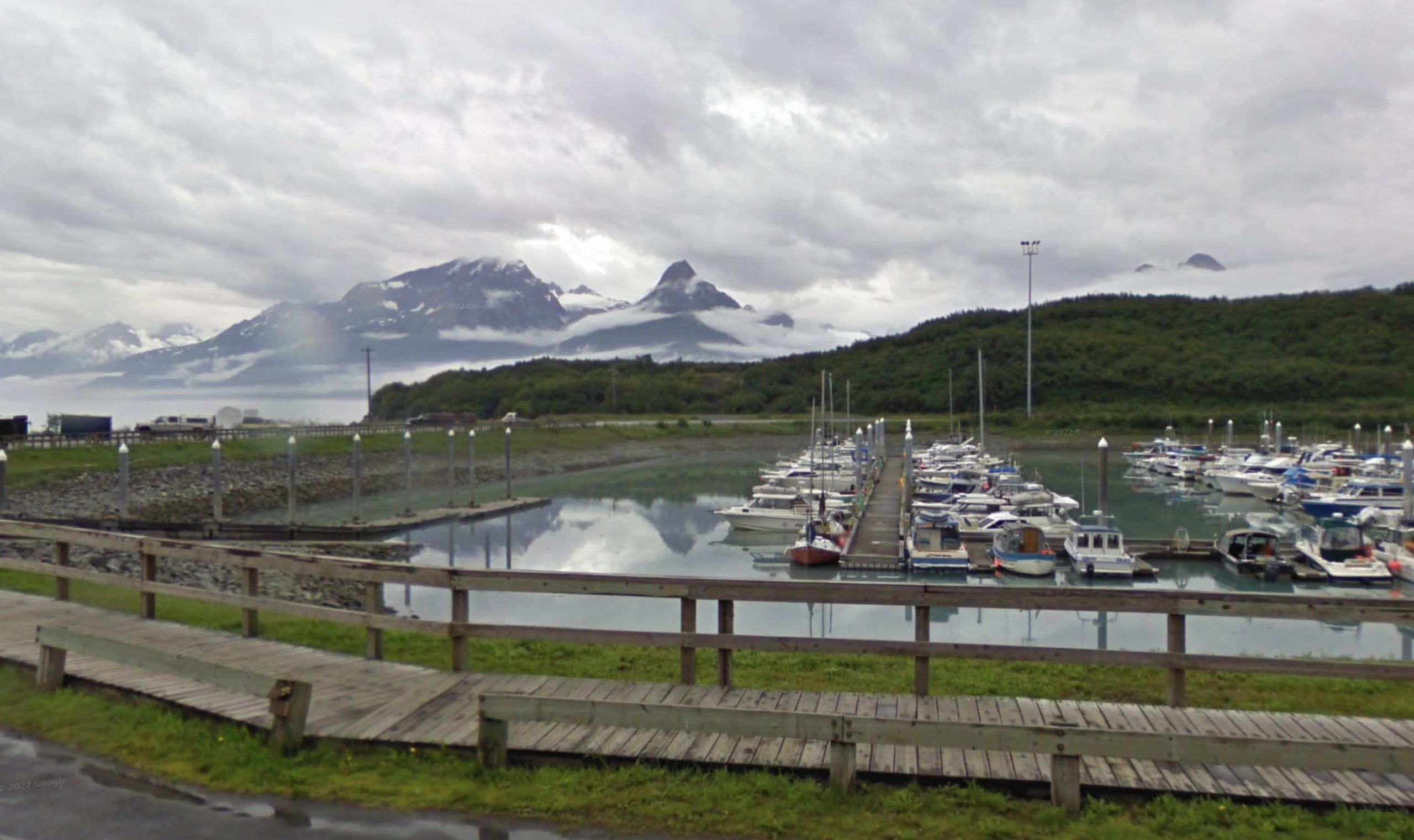
There's also a photo of Valdez harbor included, which I believe was taken approximately at this location as seen here in Streetview:
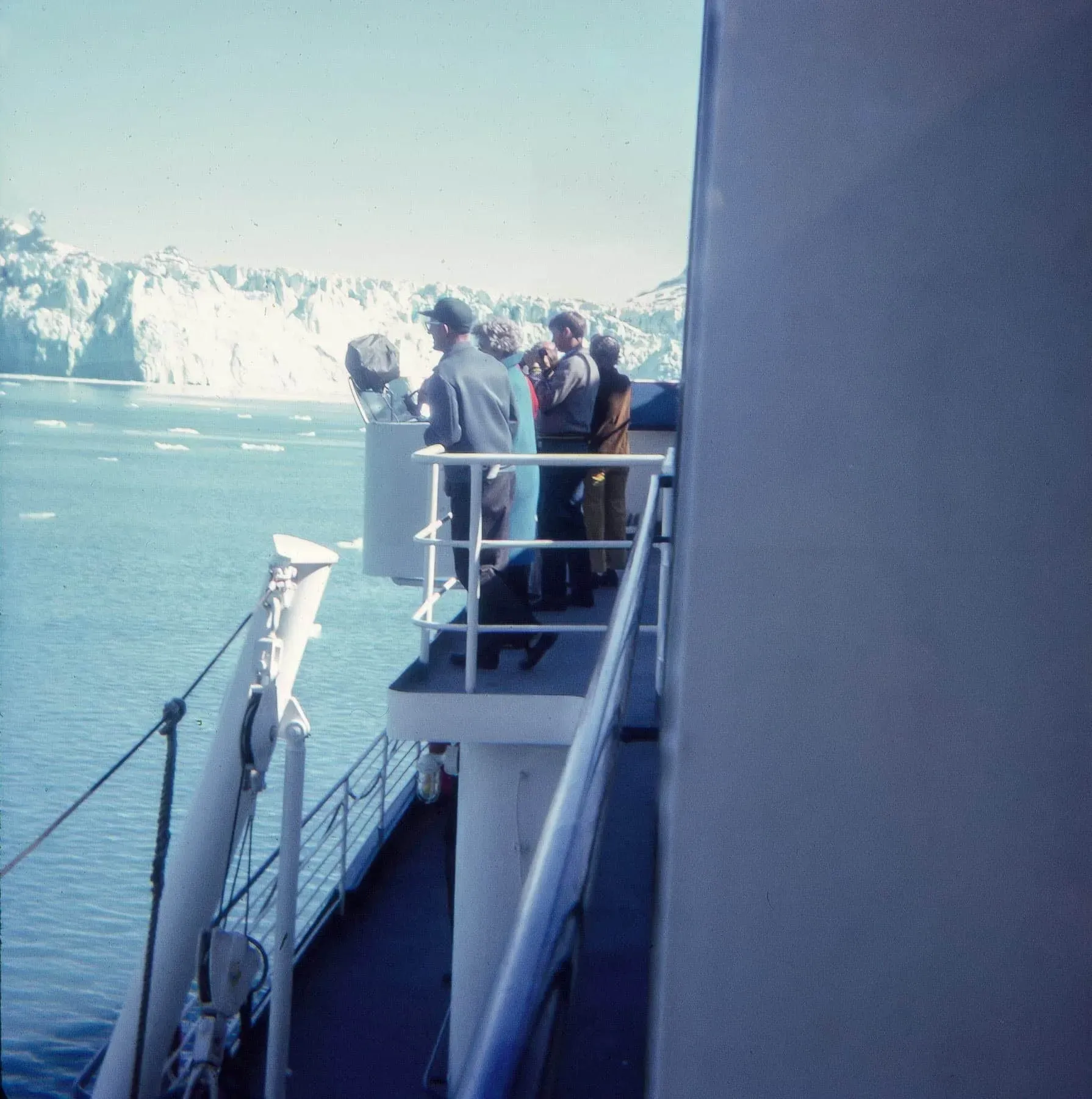
After this, my supposition is that they boarded an Alaska Marine Highway ferry, as there's this picture:
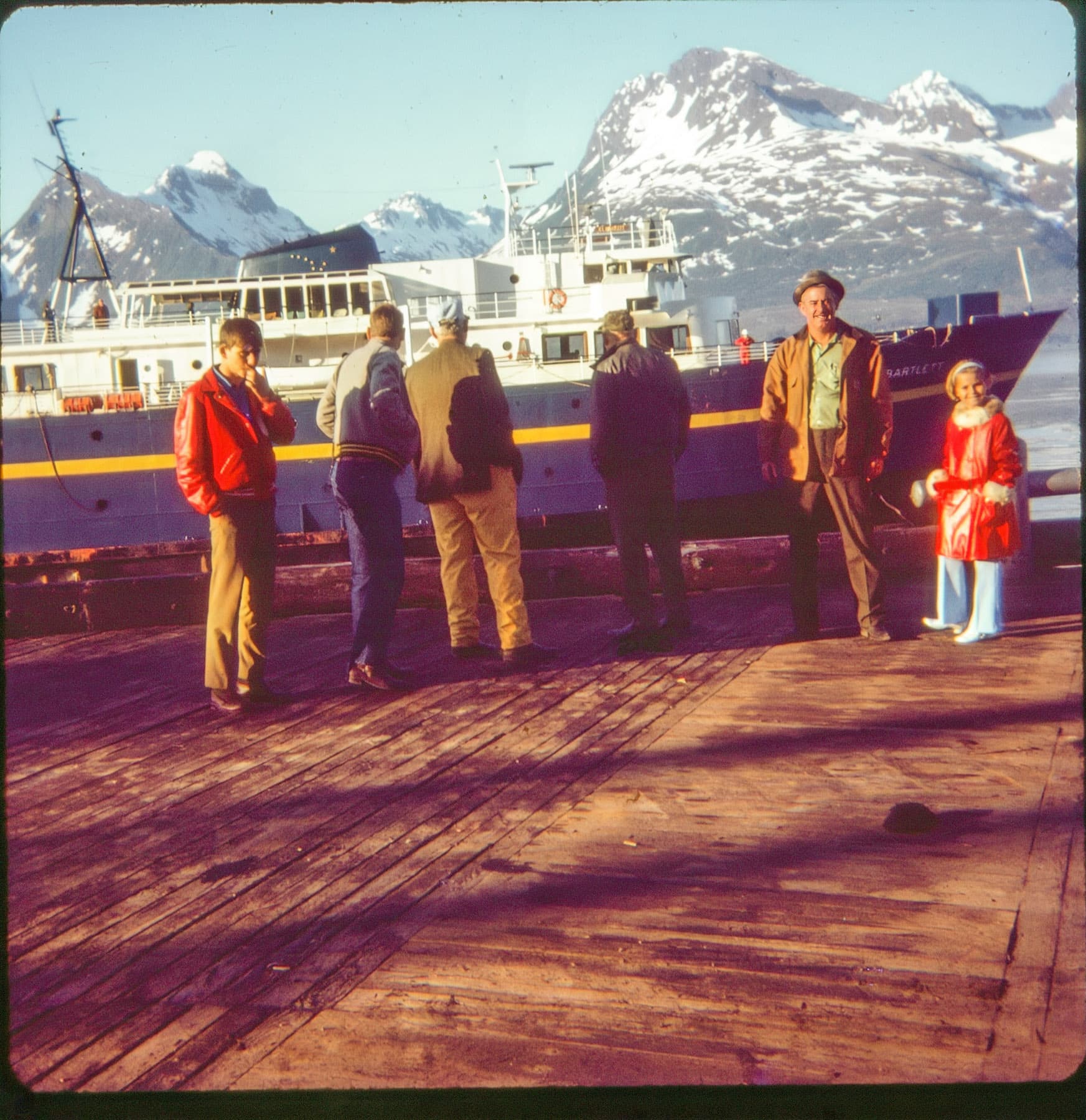
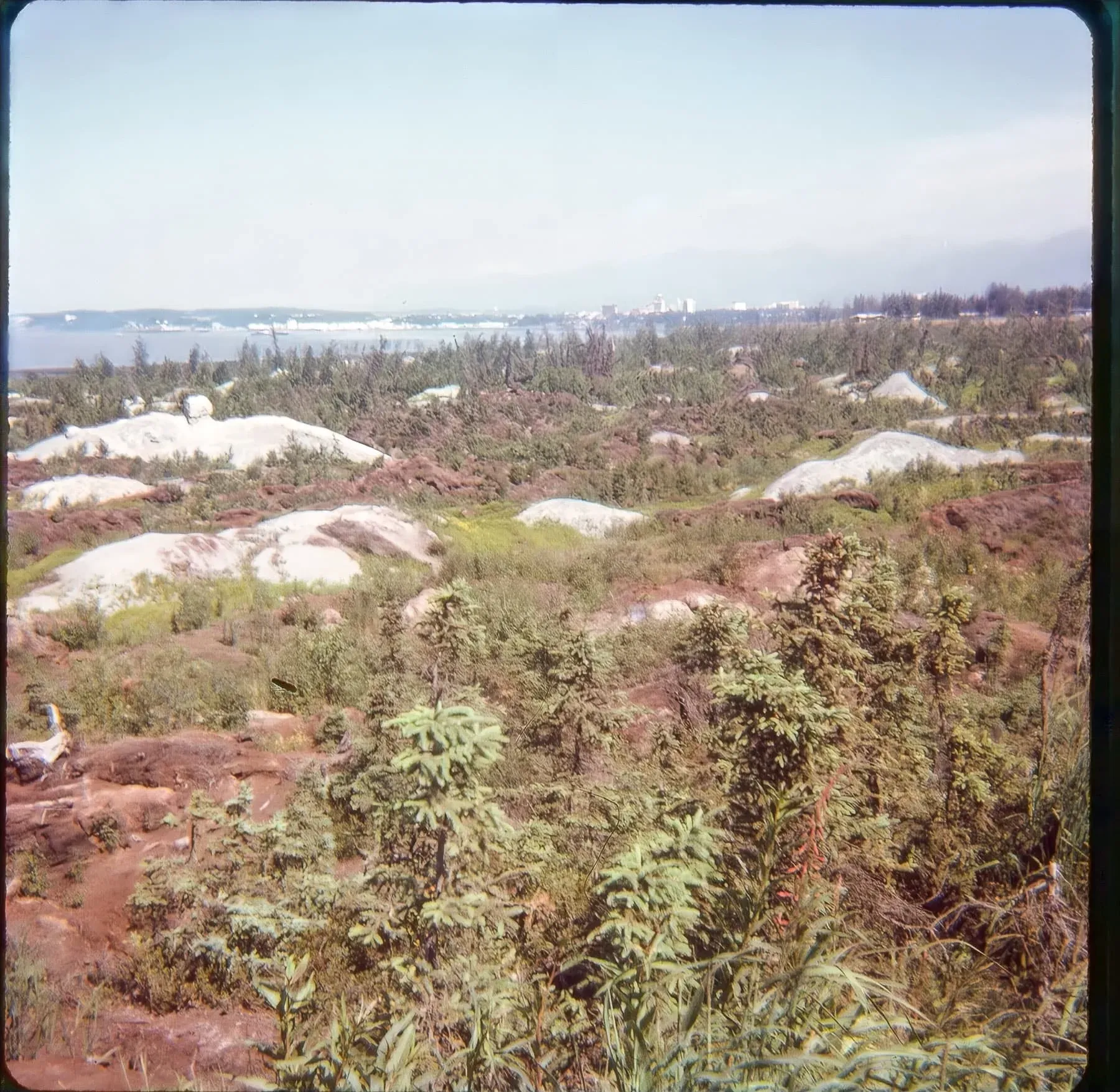
Looking closely at the bow, we can see that this is the M/V Bartlett. This makes sense, as the Bartlett served the Cordova-Valdez-Whittier route on Prince William Sound and we know that at some point they ended up in Whittier because of this photo:
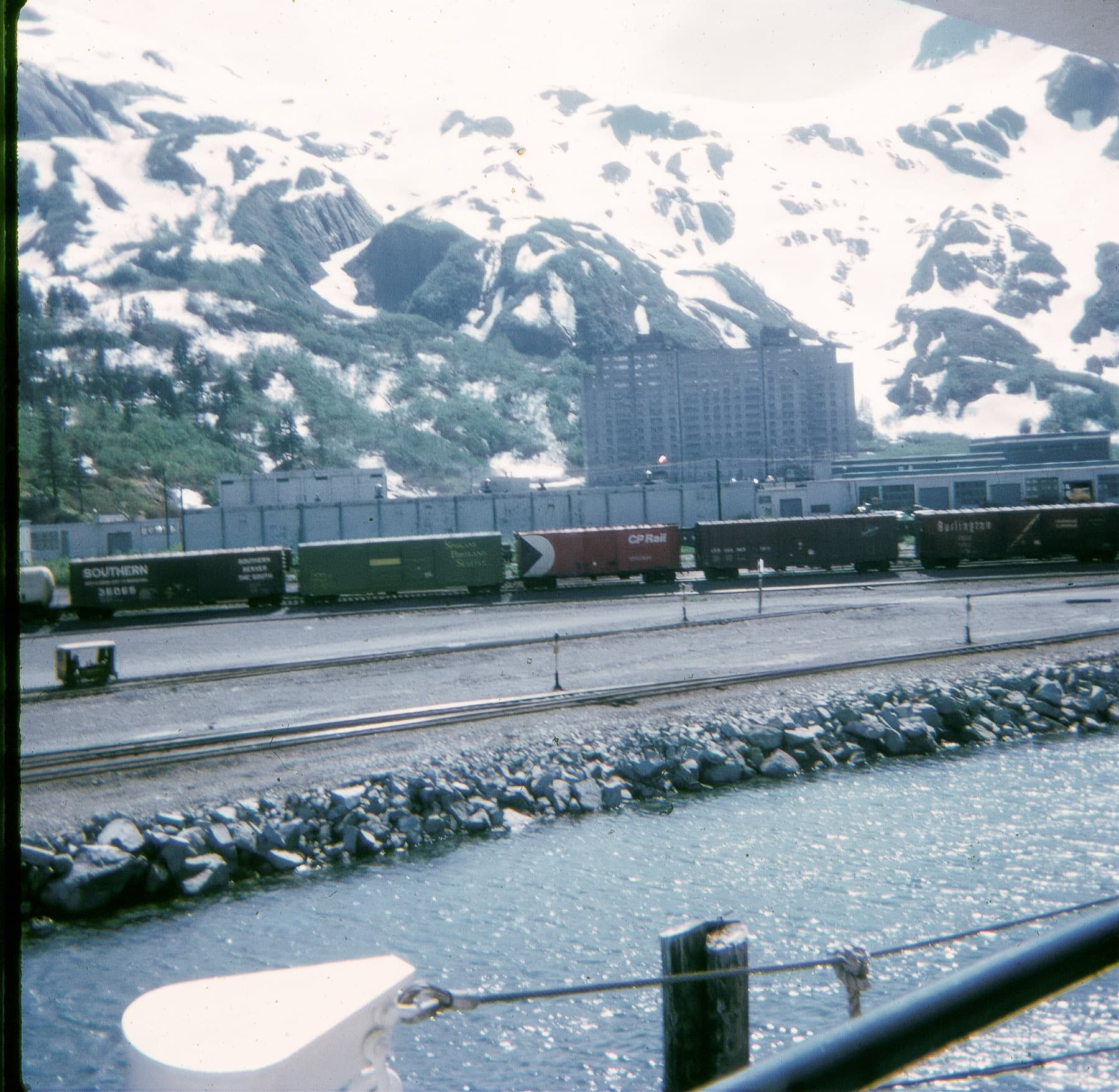
And we know that this is Whittier because it's a photo of the town's most-prominent structure—the Begich Building.
The Begich Building is known as the residence of most of Whittier's population as well as most of its government offices and businesses. Built in the 1950s to serve as a headquarters for the US Army Corps of Engineers, it was turned over to the local populace in the 1960s and converted to condominiums.
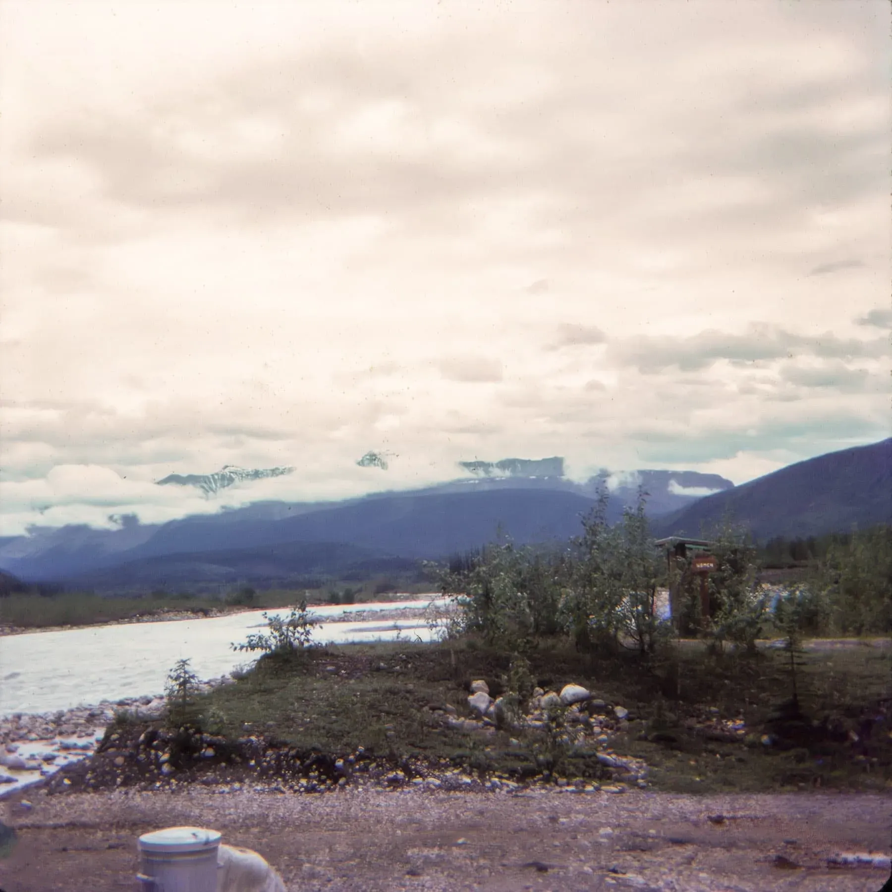
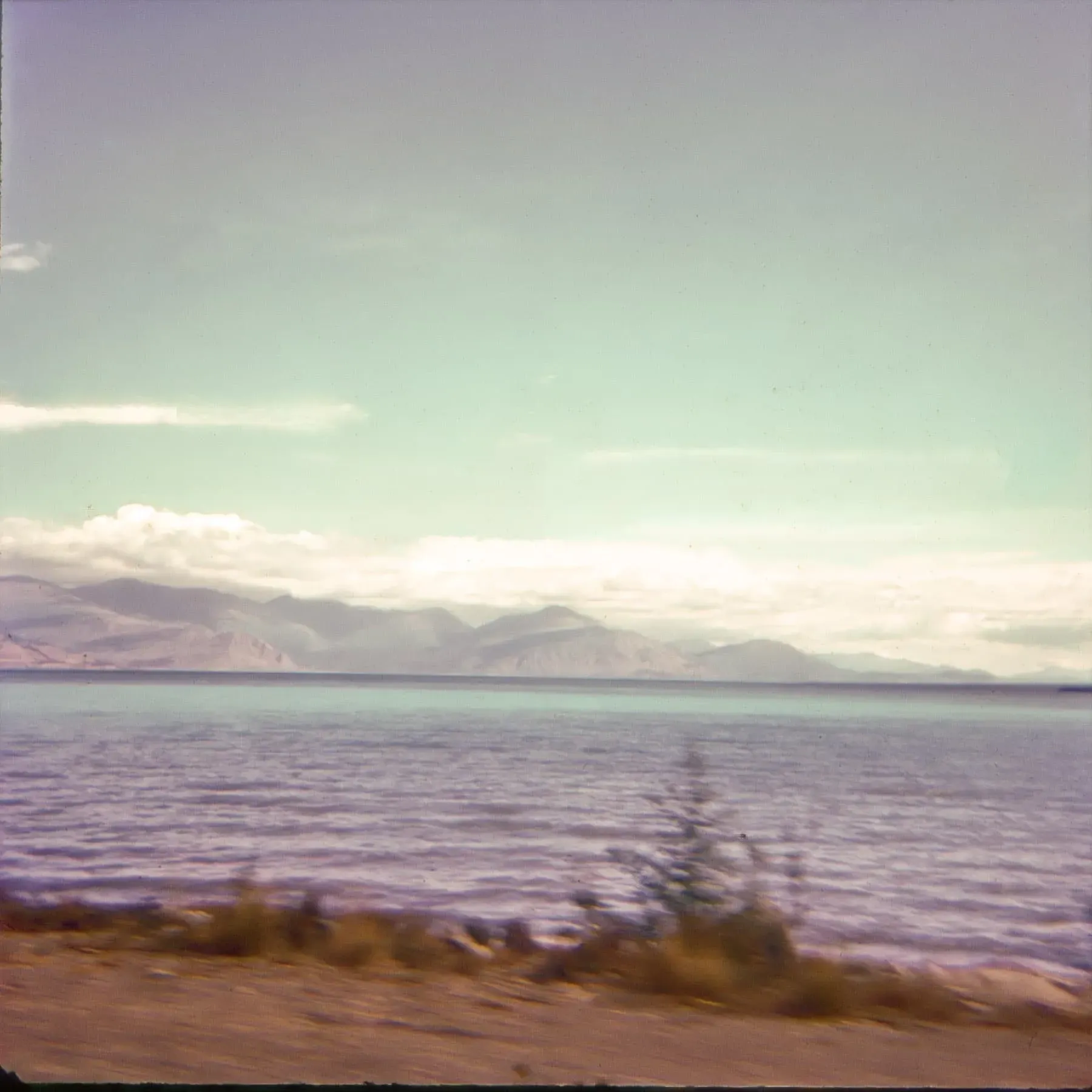
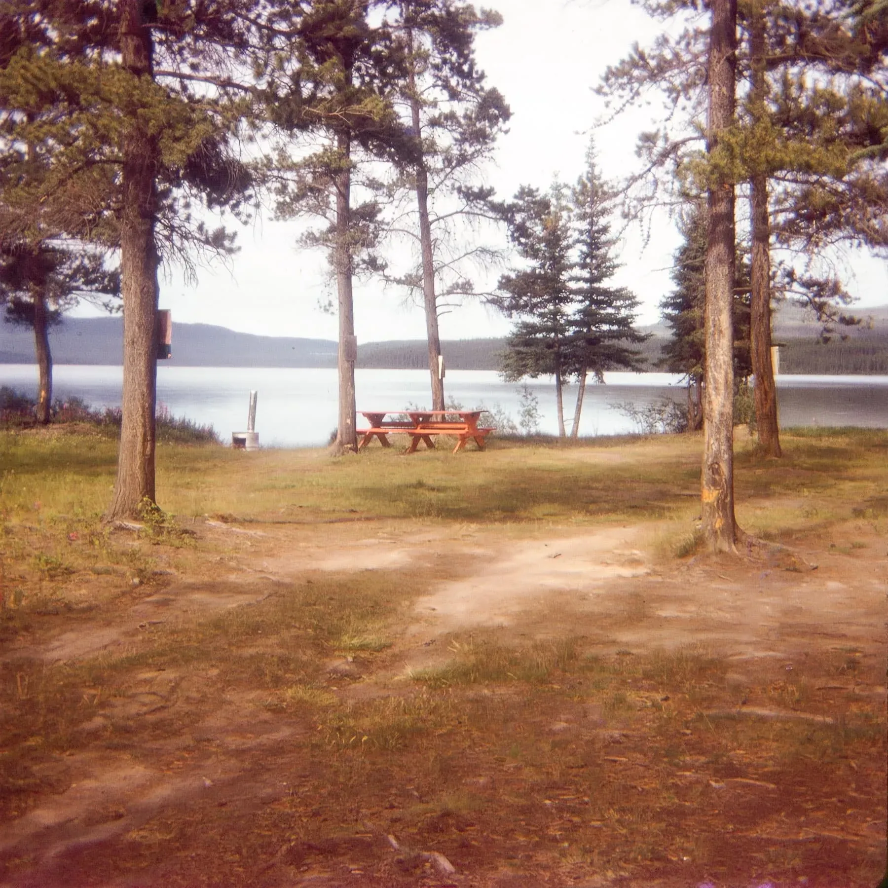
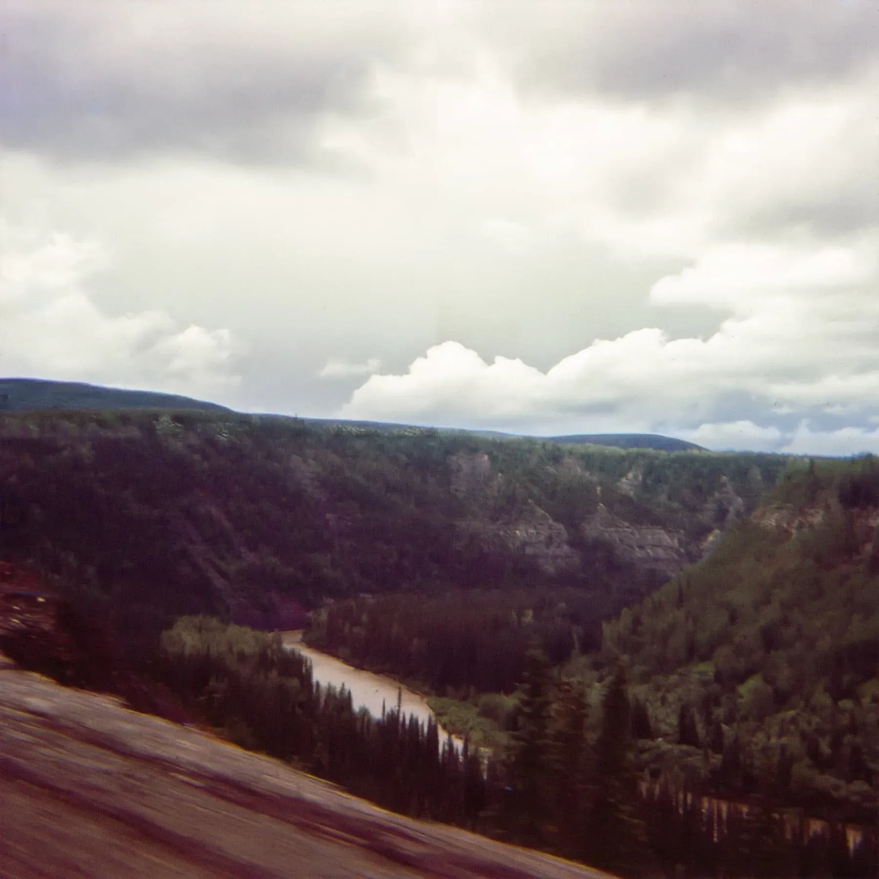
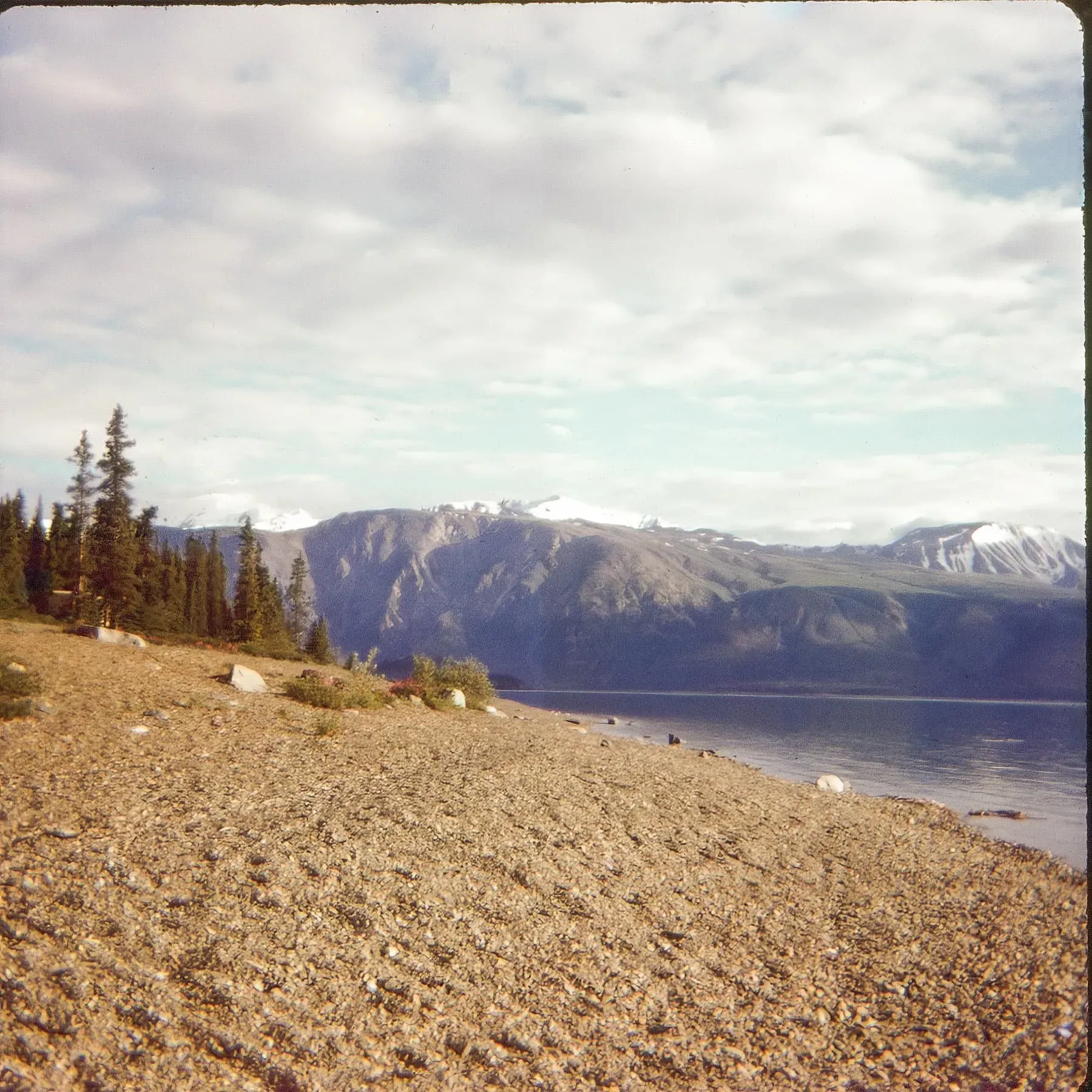
Since we can now connect Valdez and Whittier via a ferry on Prince William Sound, we can assume that most, if not all, of the following photos are of Prince William Sound:
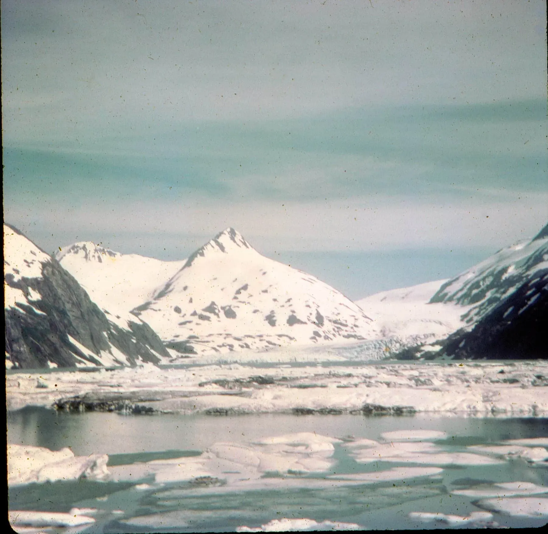
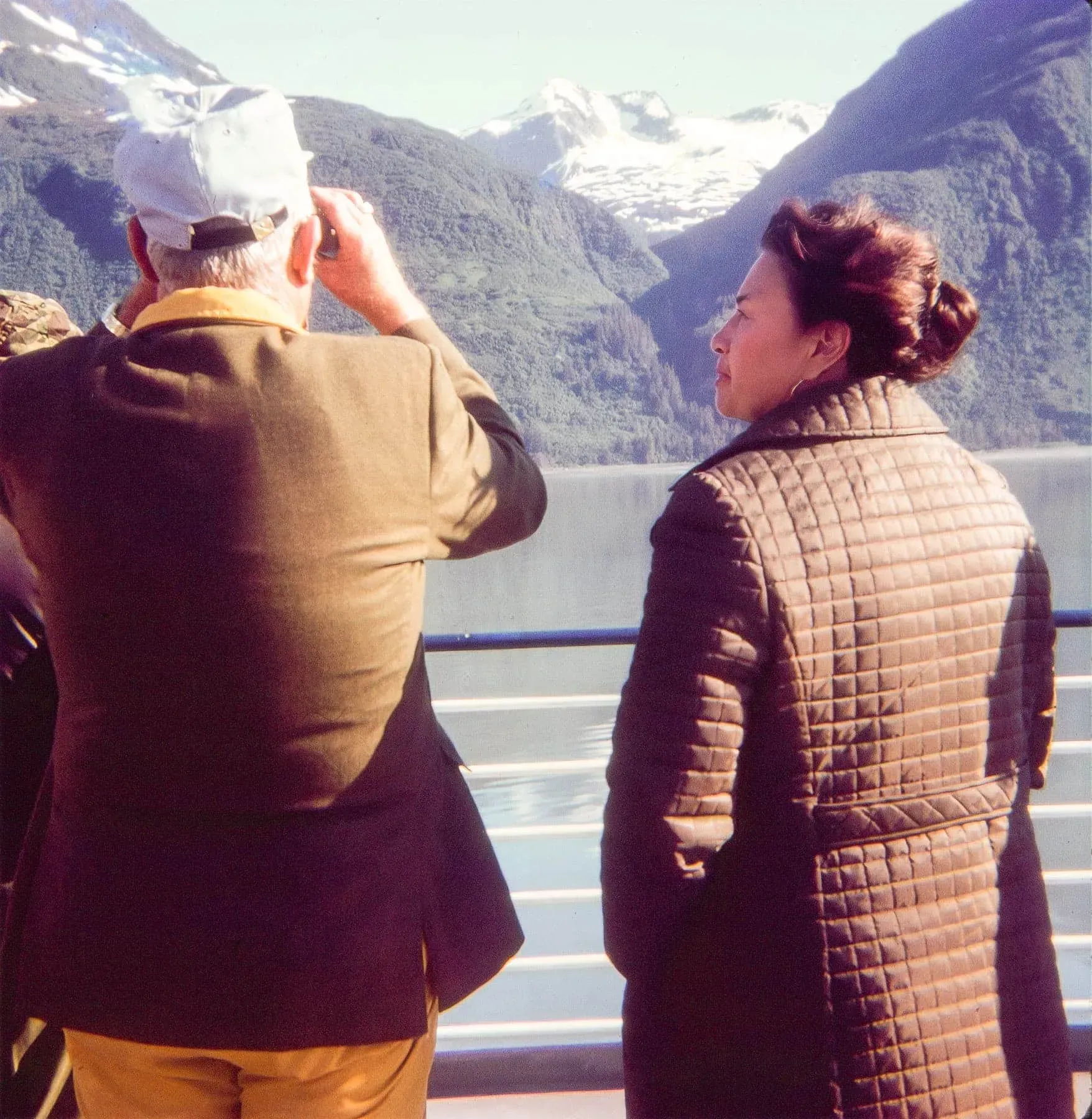
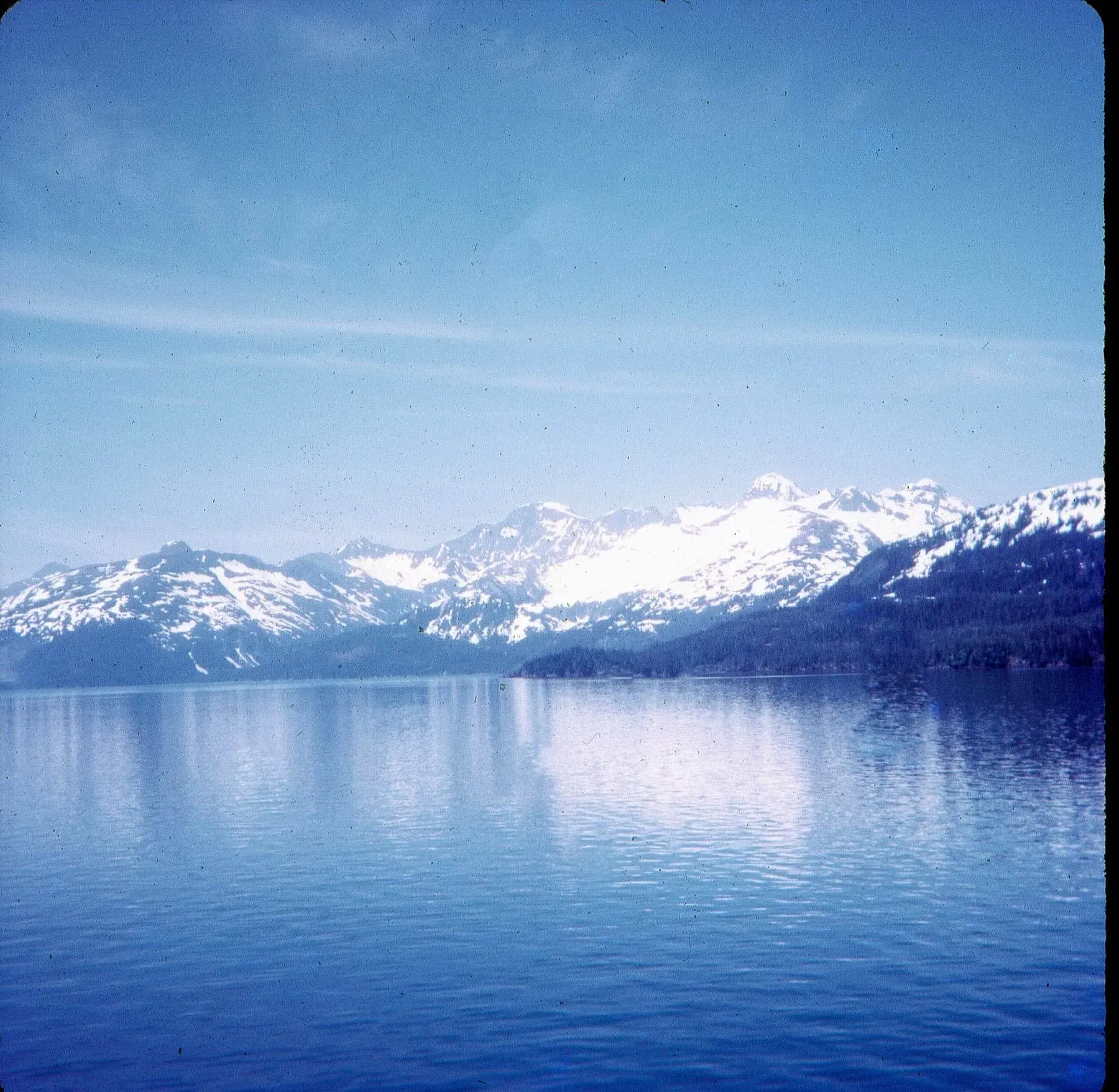
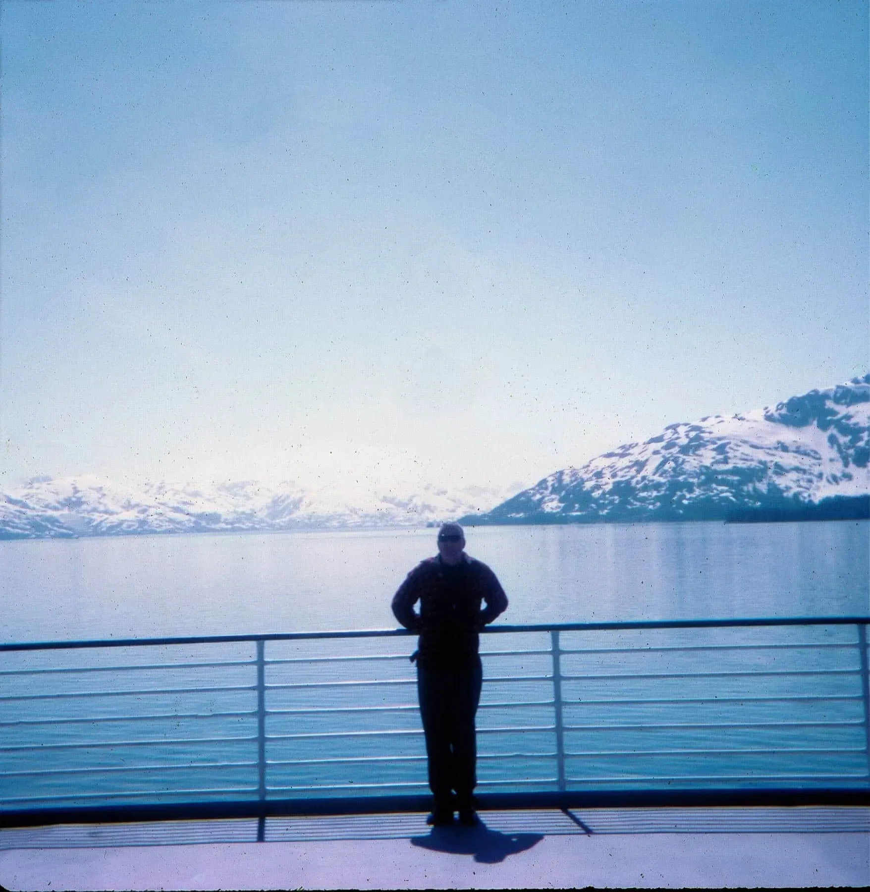
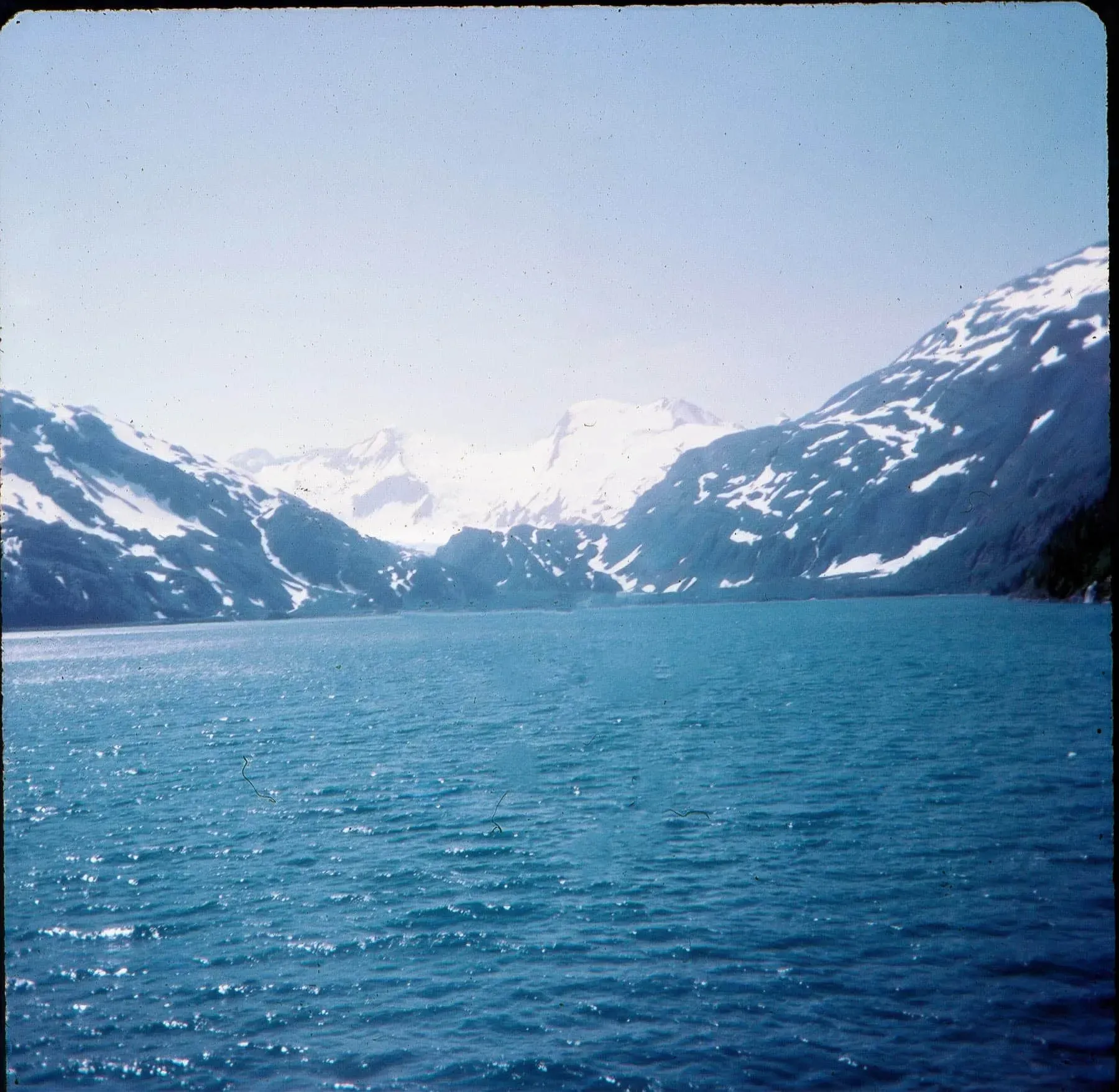
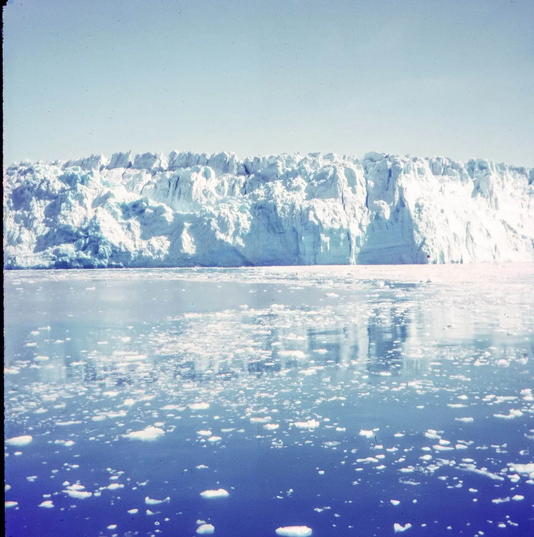
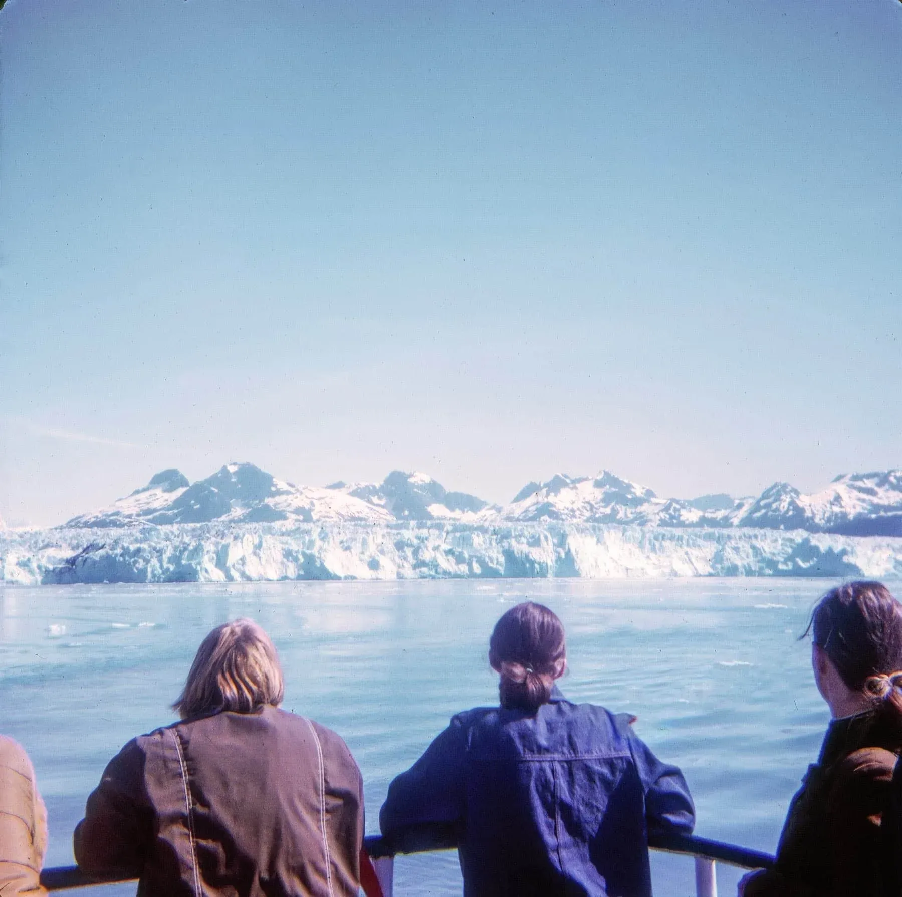
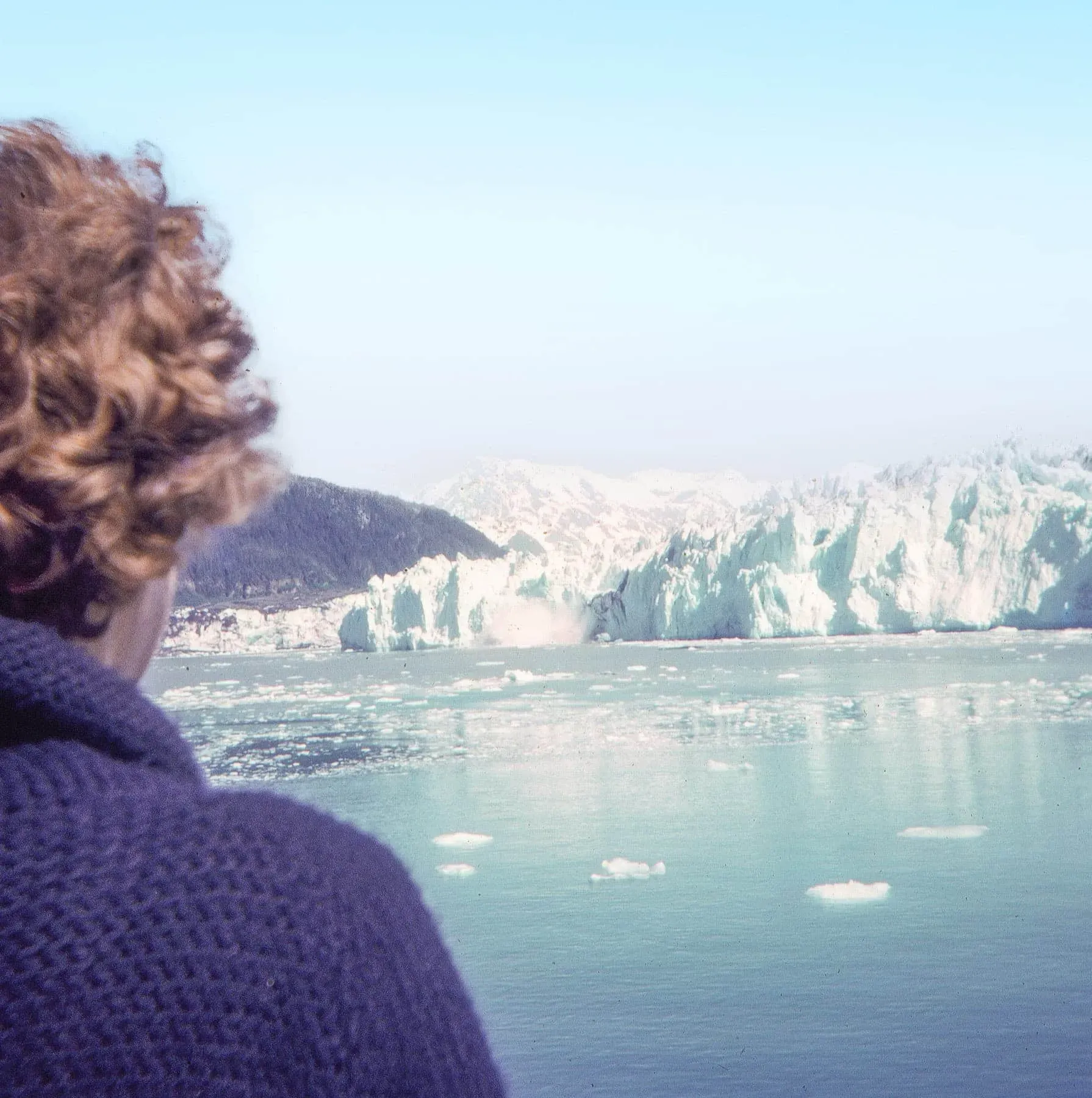
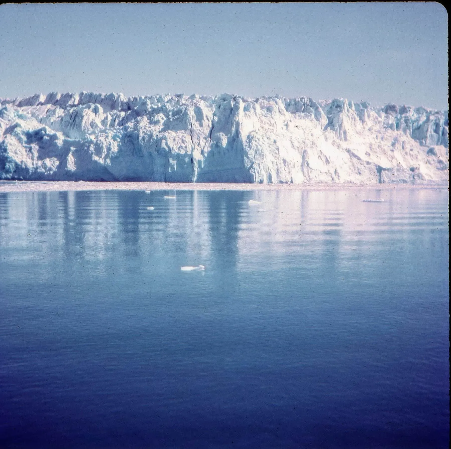
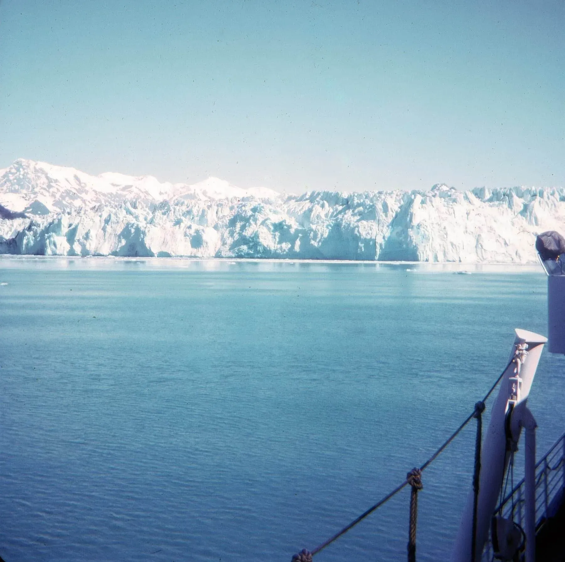
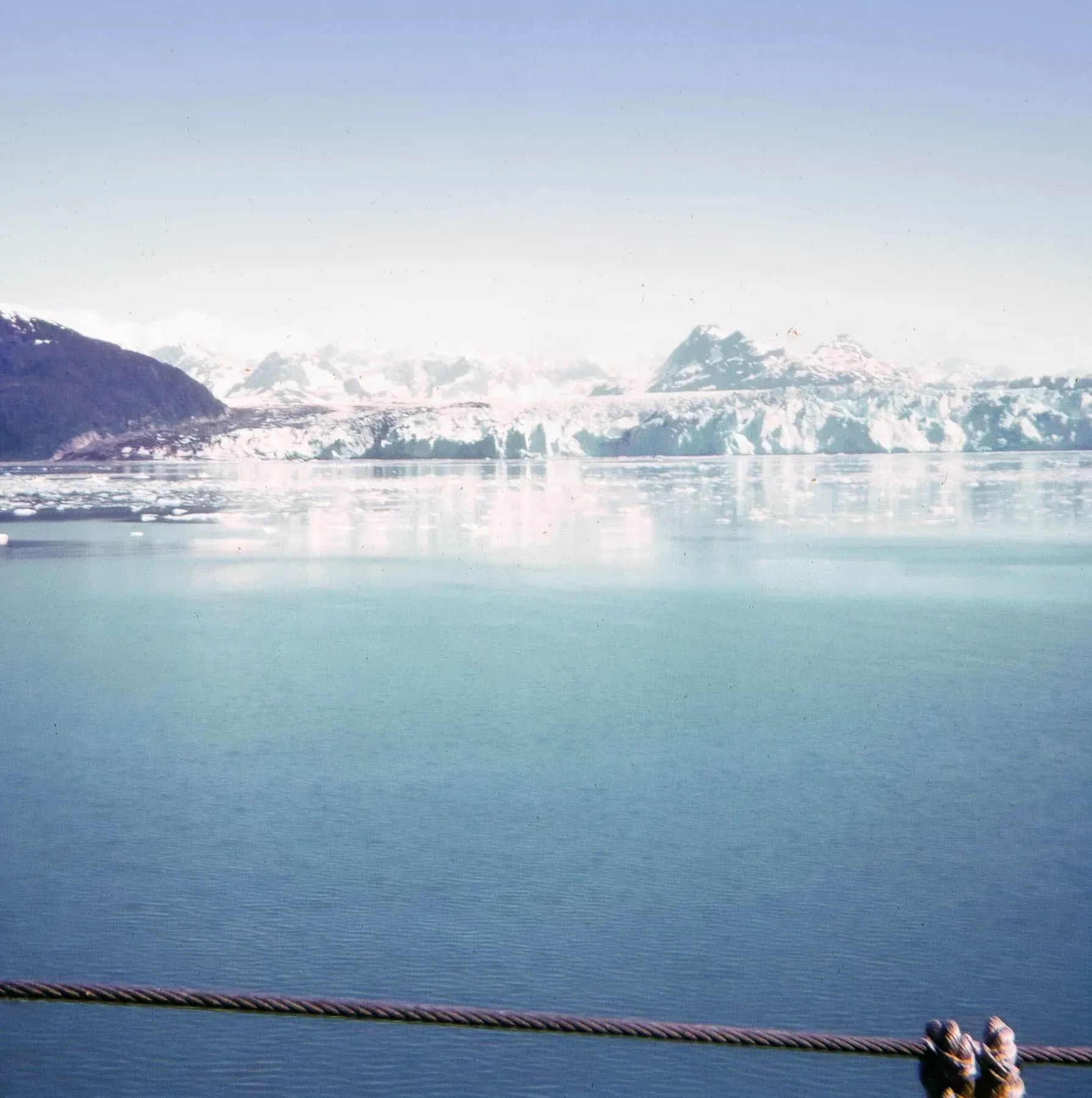
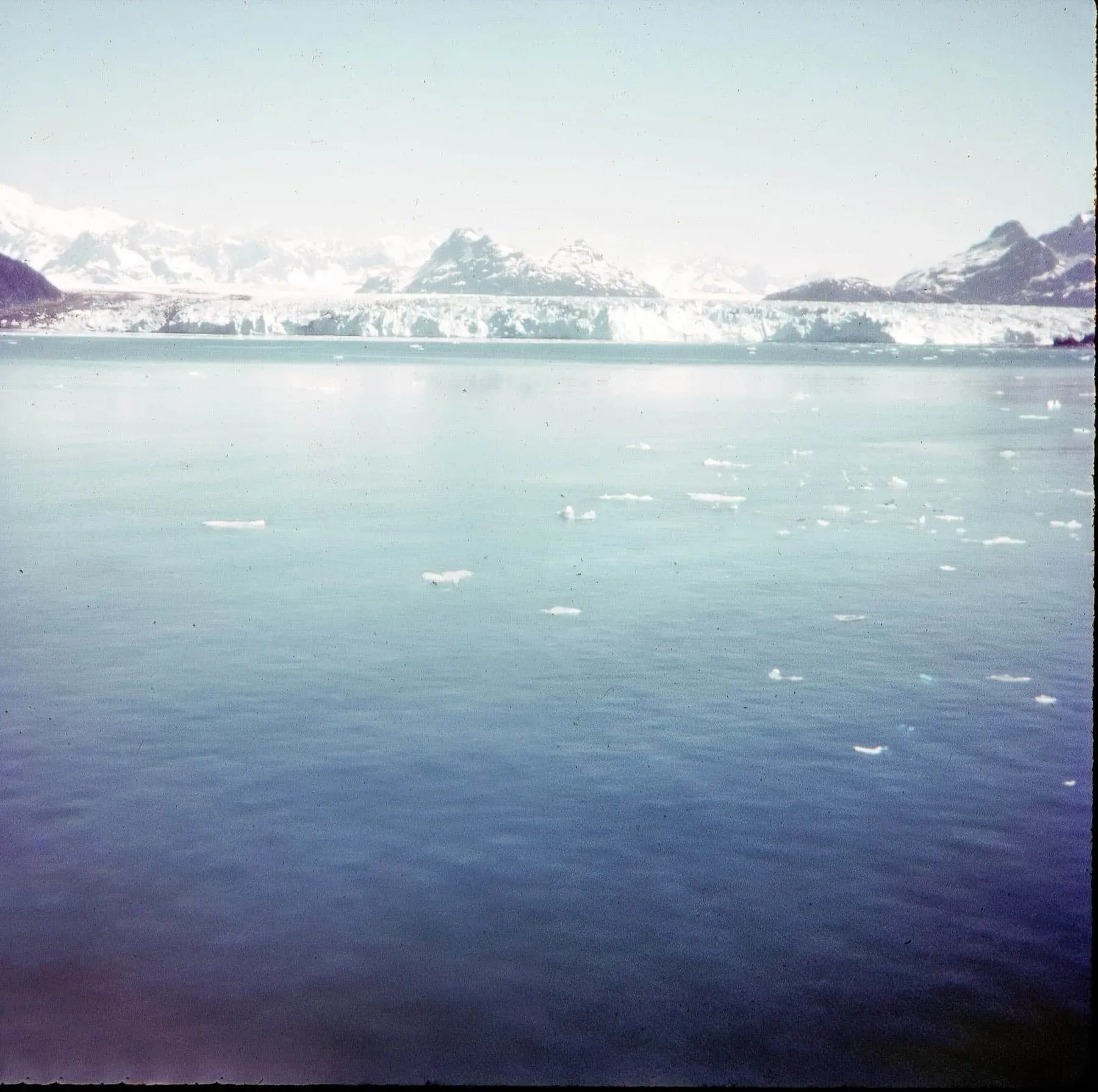
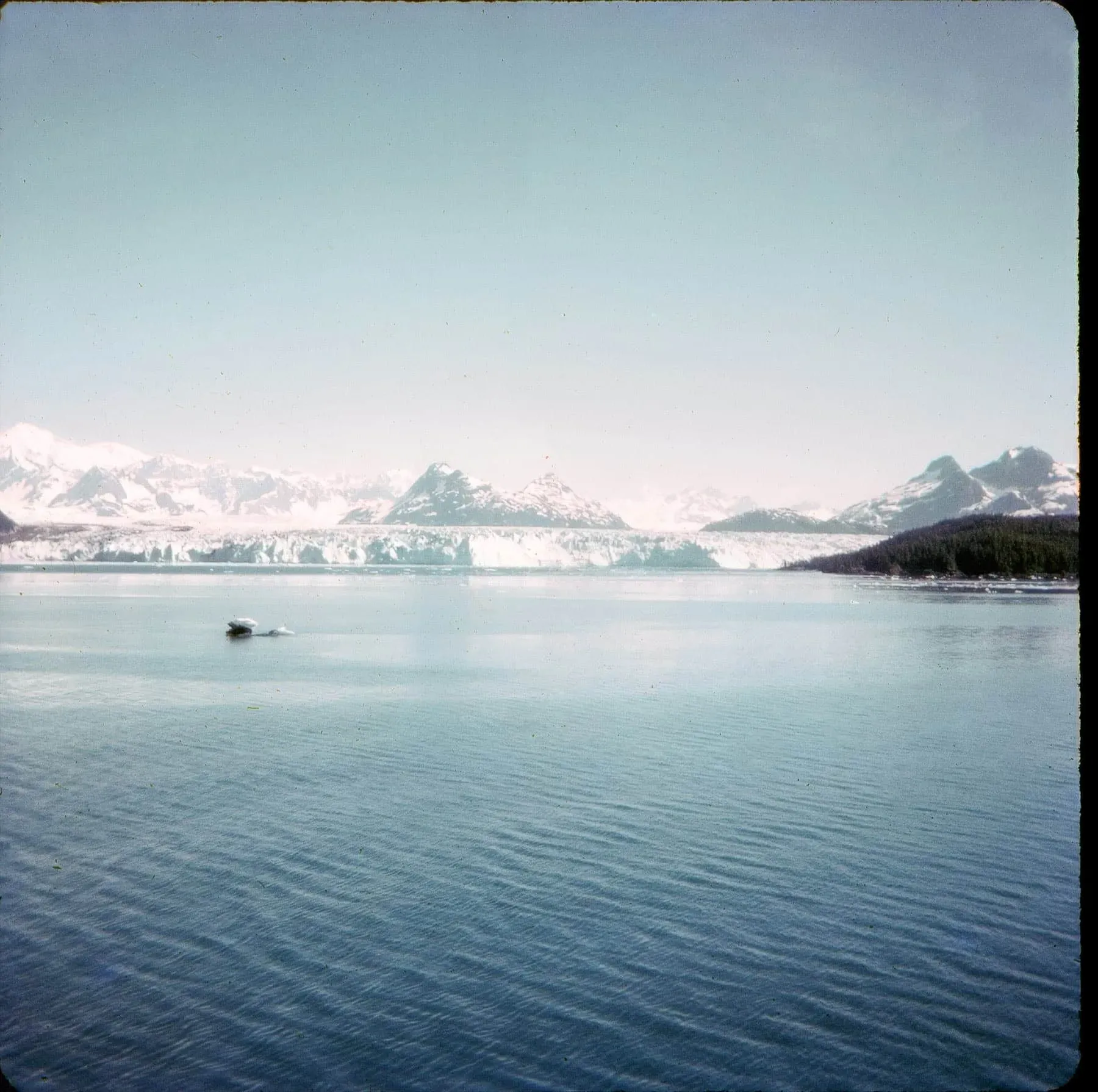
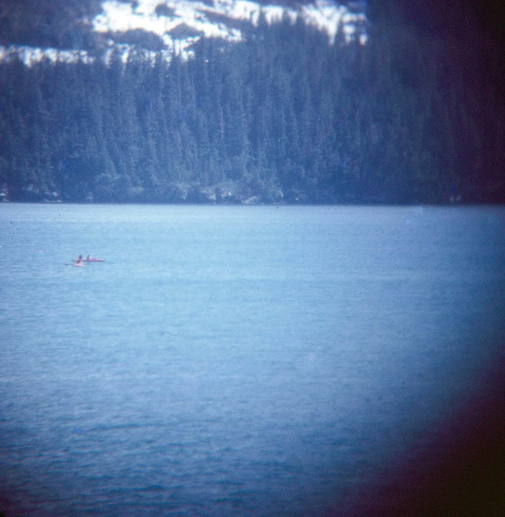
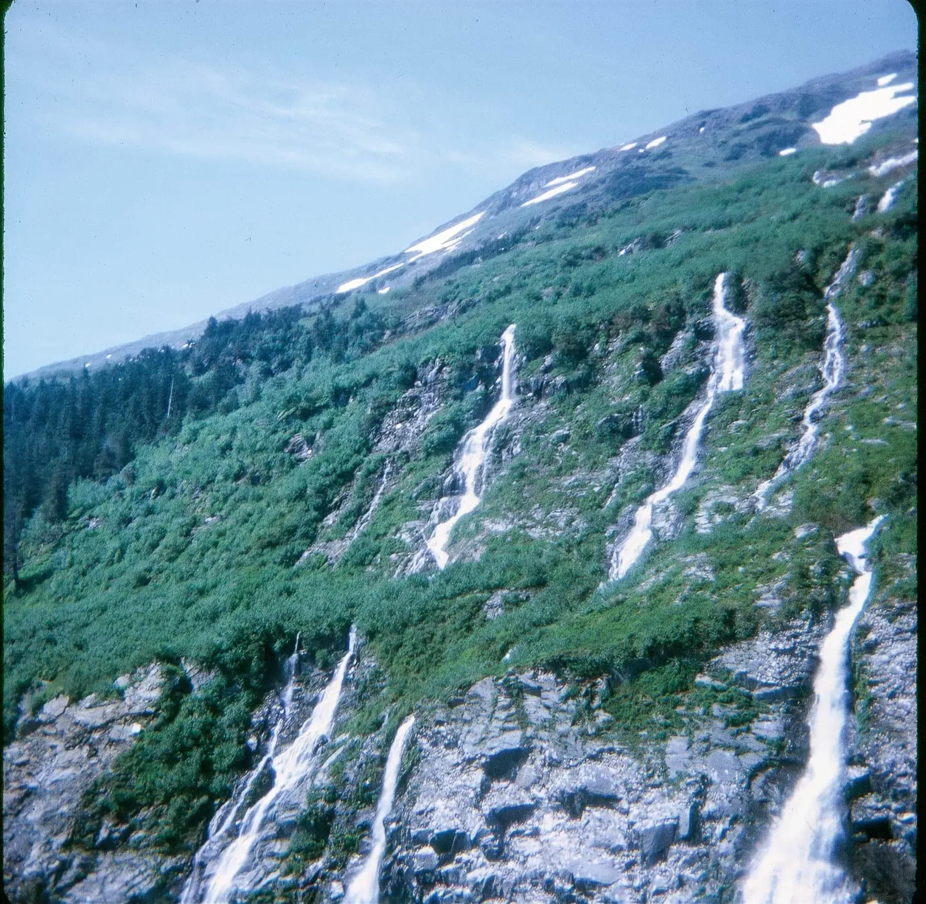
Unfortunately, this is where the trail runs cold and our journey comes to an end. The following photos, save for the first, have proved impossible to ascertain their location.
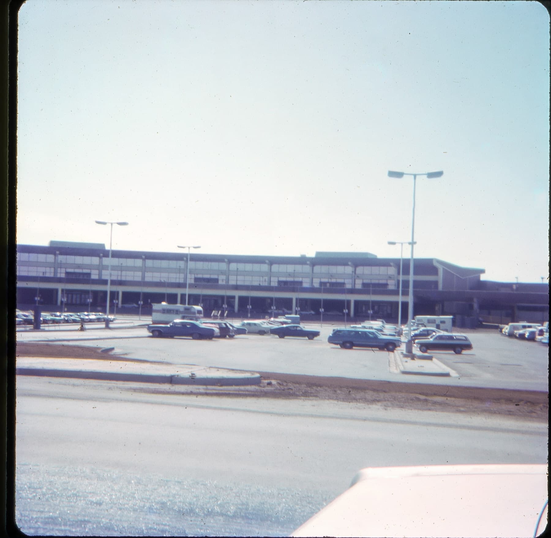
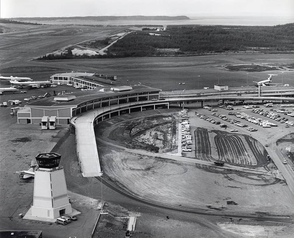
This is the old terminal at Ted Stevens Anchorage International Airport (or, as it was known then, just Anchorage International Airport). (aside: how messed up is it that the airport is named after someone who later died in a plane crash?)
I was able to determine this by a) it looks like an airport terminal and b) comparing the rooflines of this old photo of the terminal:
So, we know they made it as far as Anchorage, 3,332 miles (5,362 km) "as the crow flies" from their starting point. Quite the range for a few weeks of exploring by car (and, for part of it, ferry).
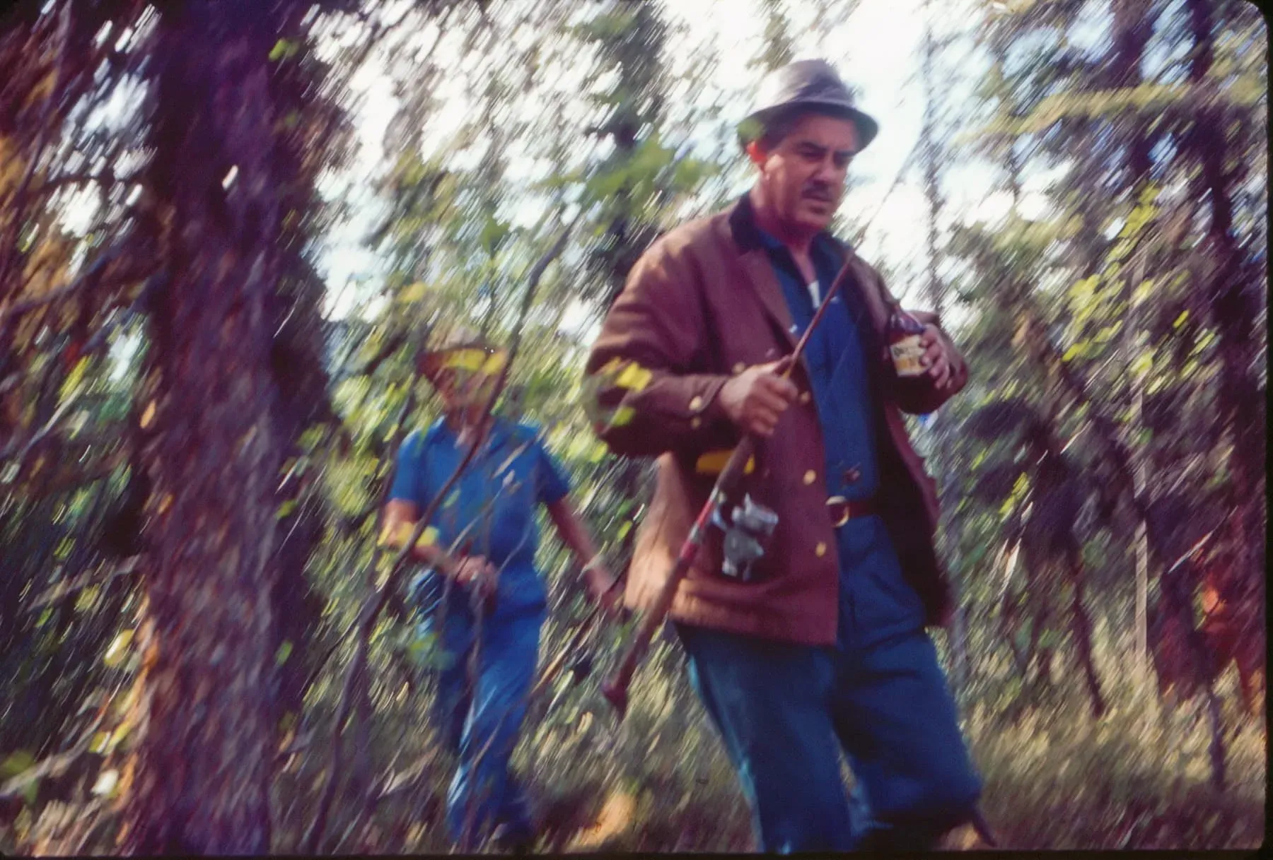
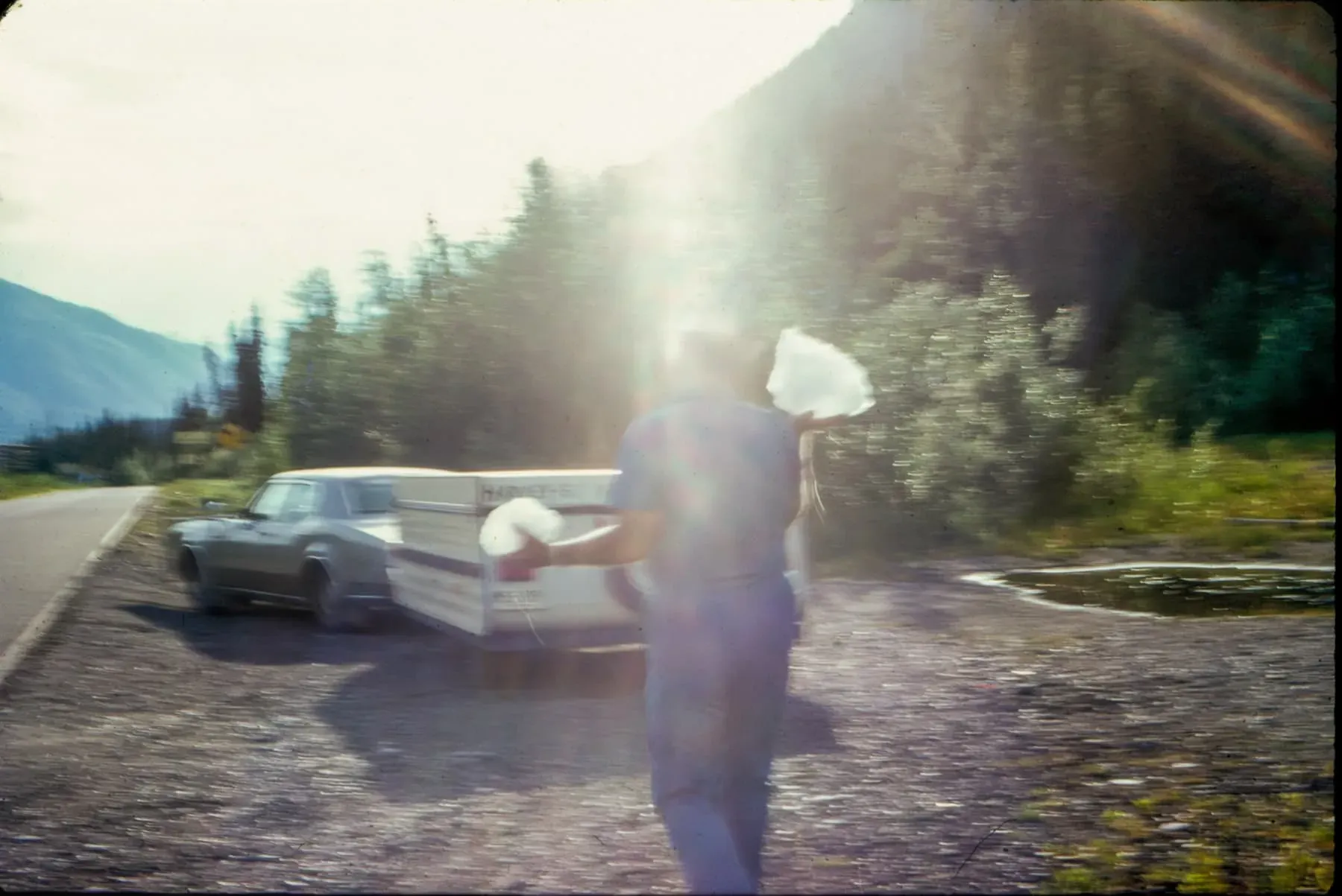
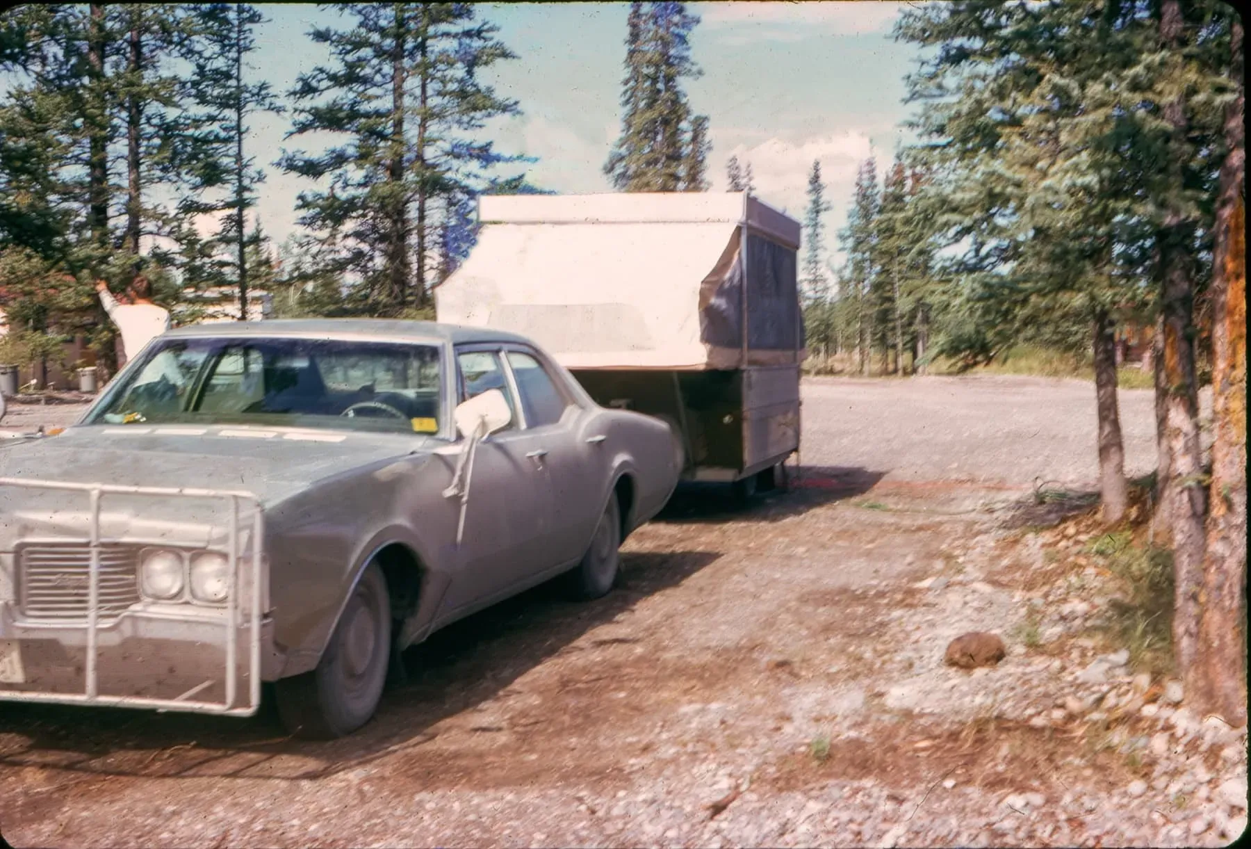
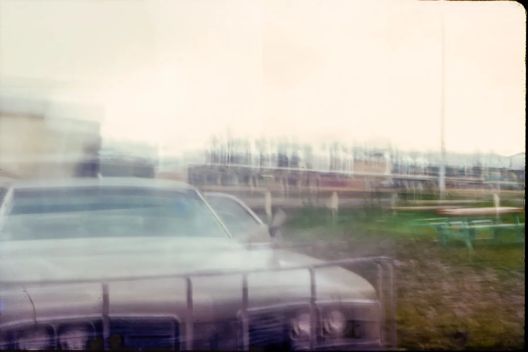
The following nicely show the homemade bumper/moose guard/rock catcher that they probably-wisely added to their car:
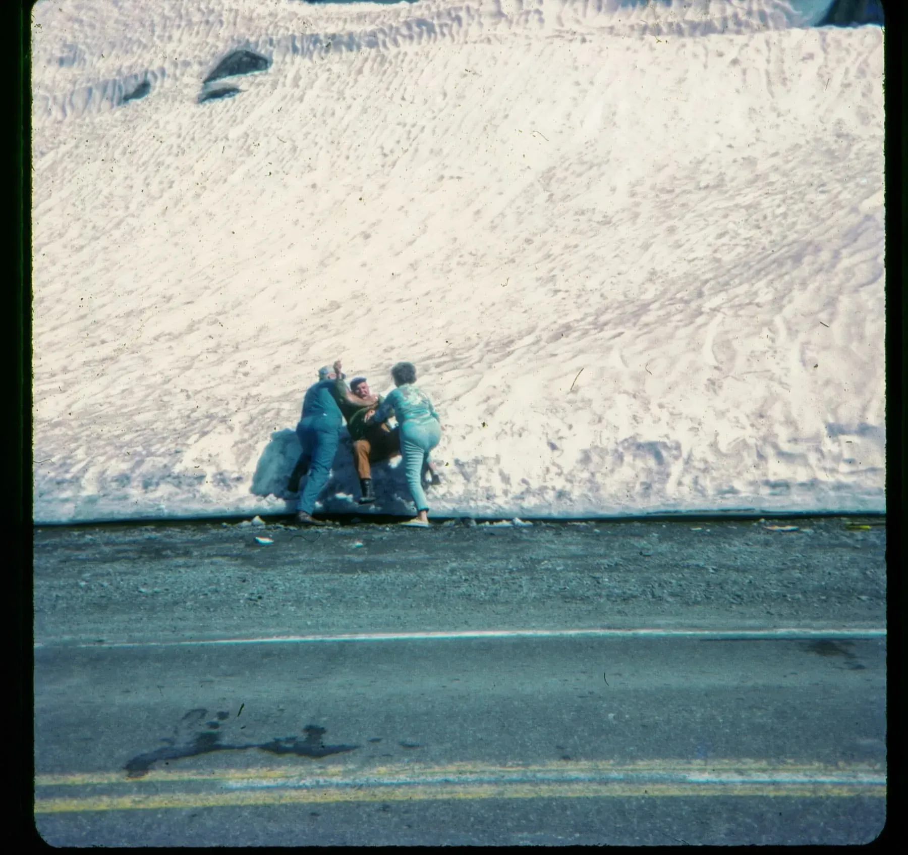
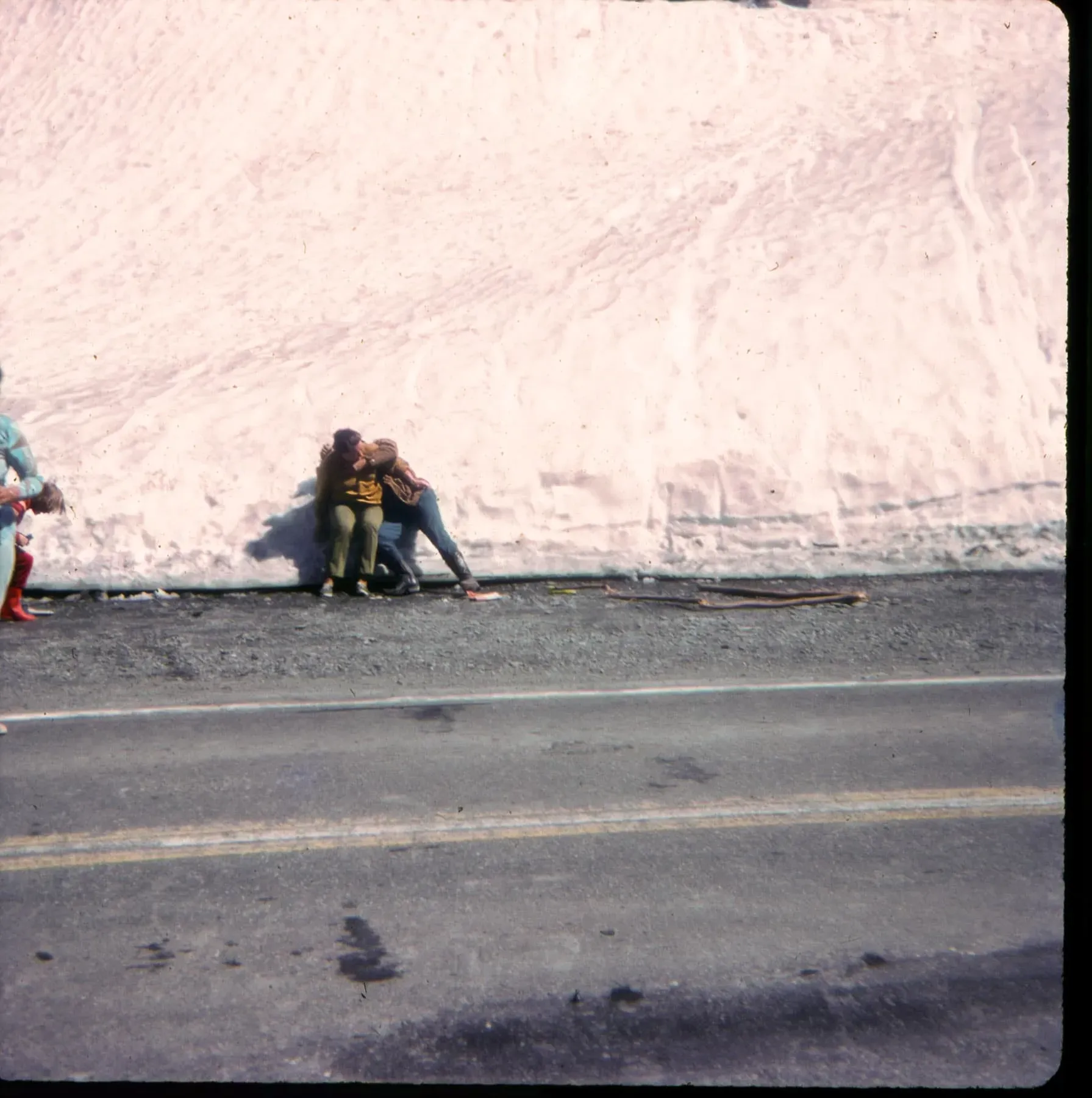
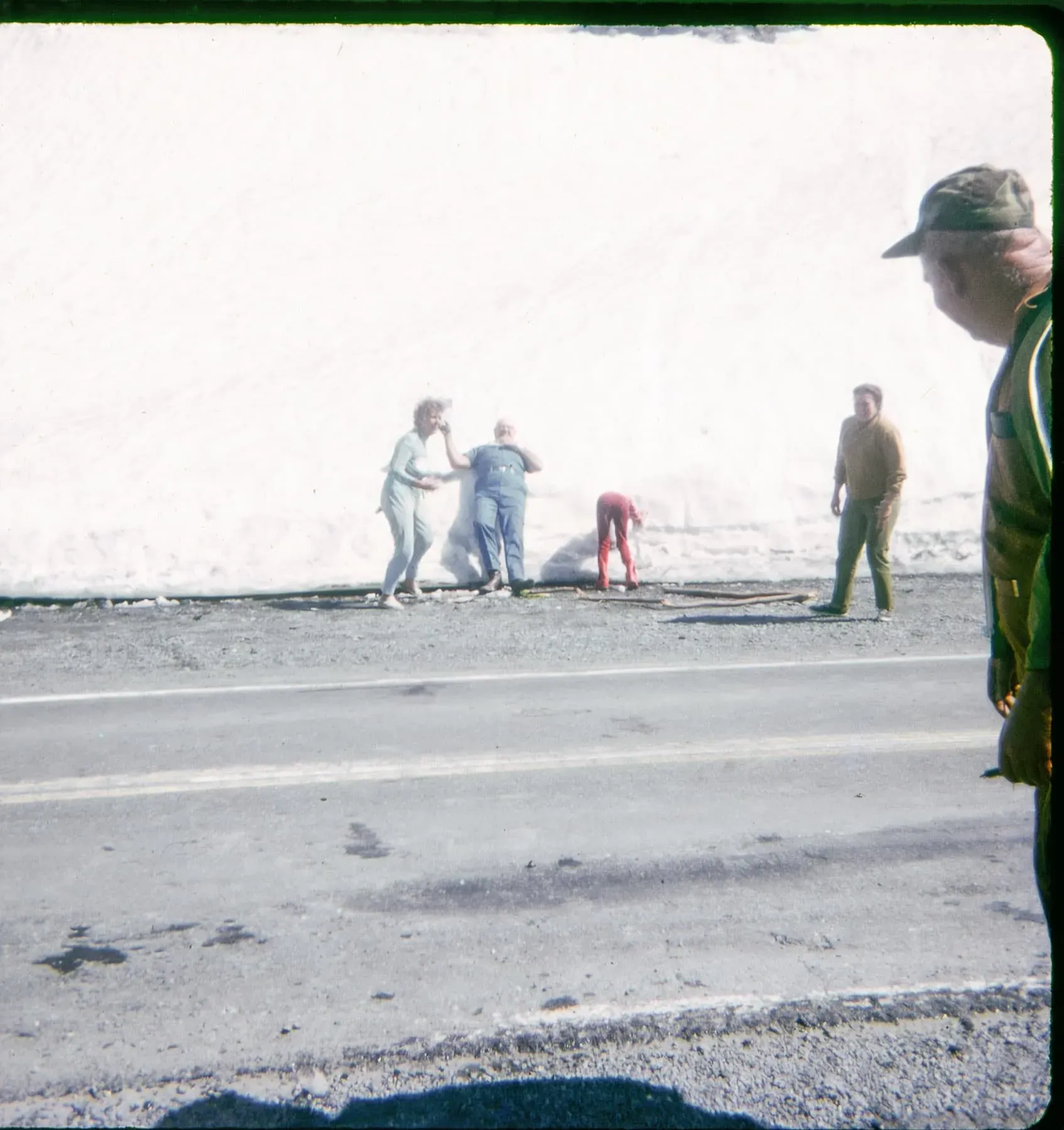
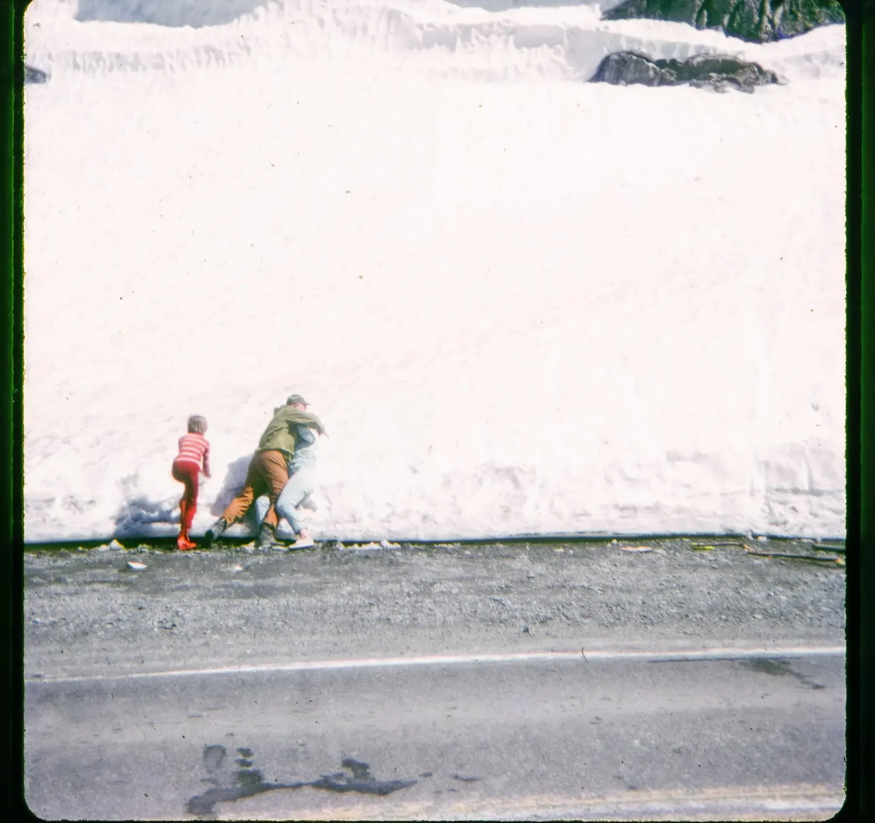
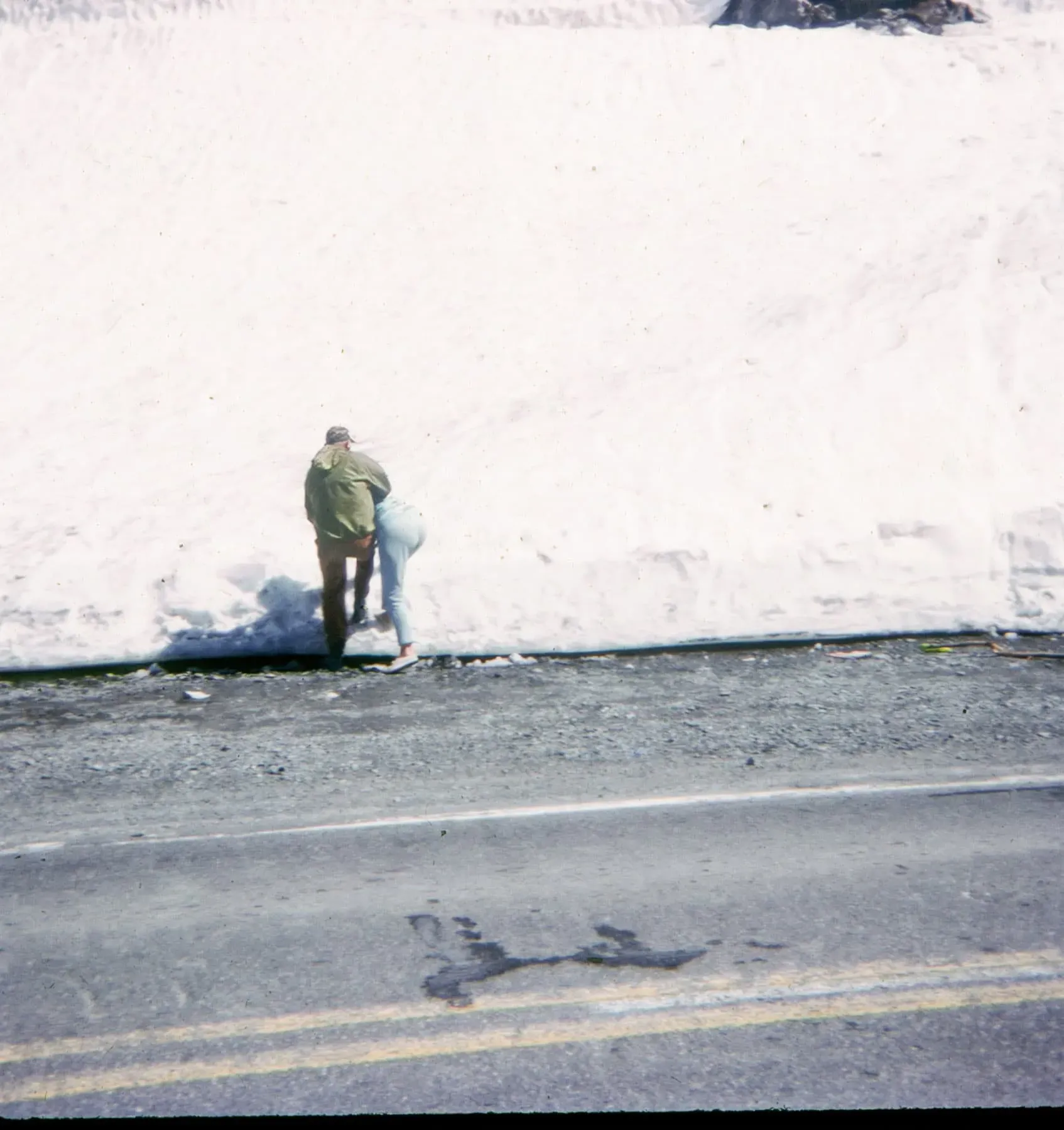
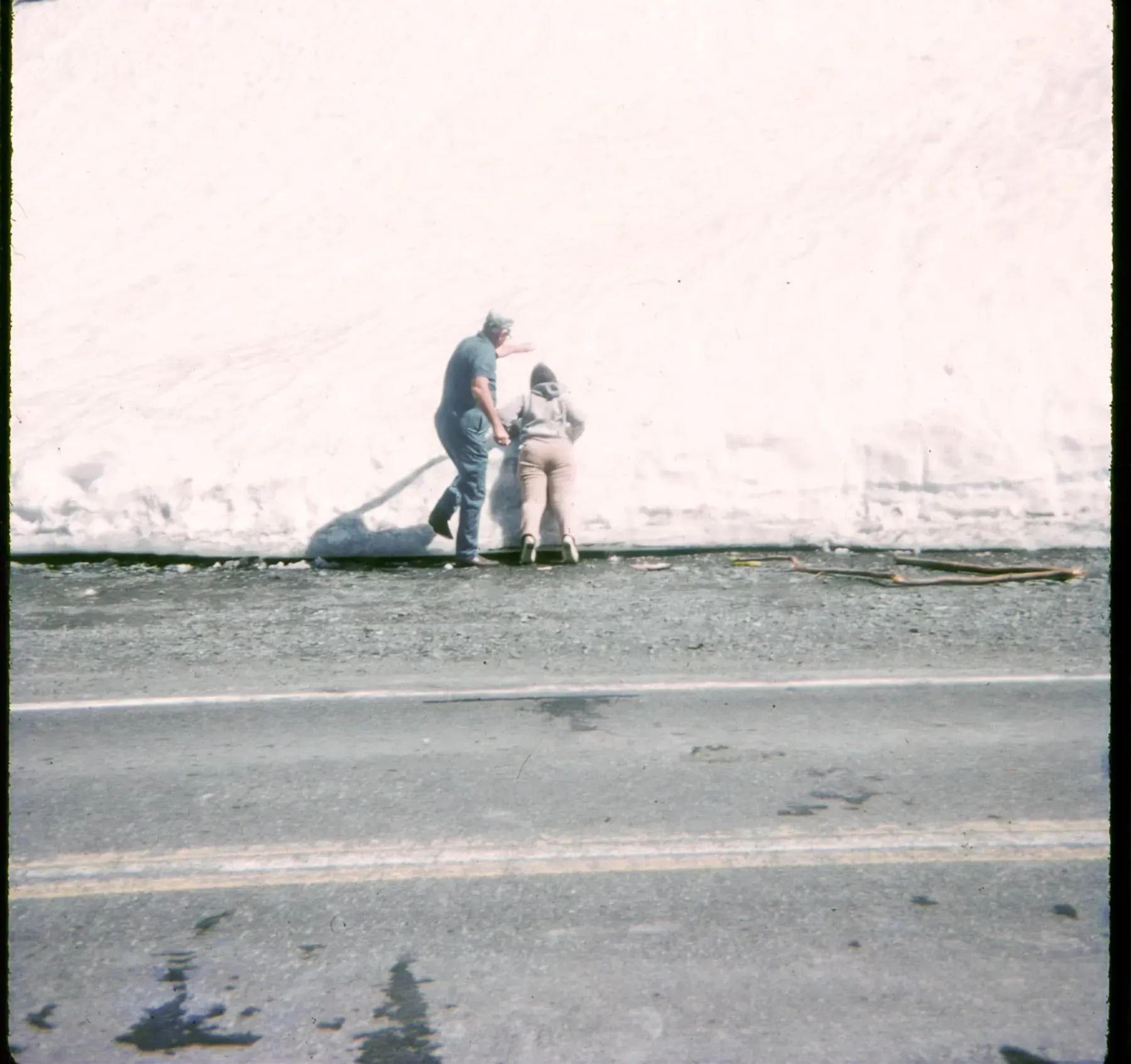
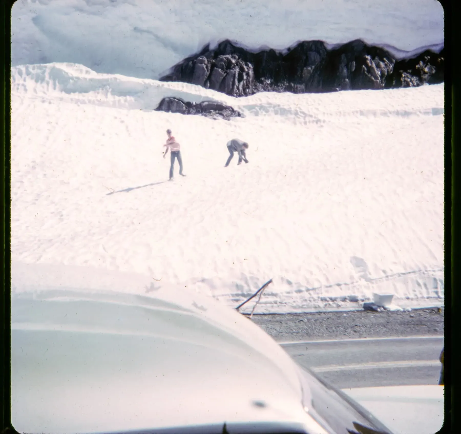
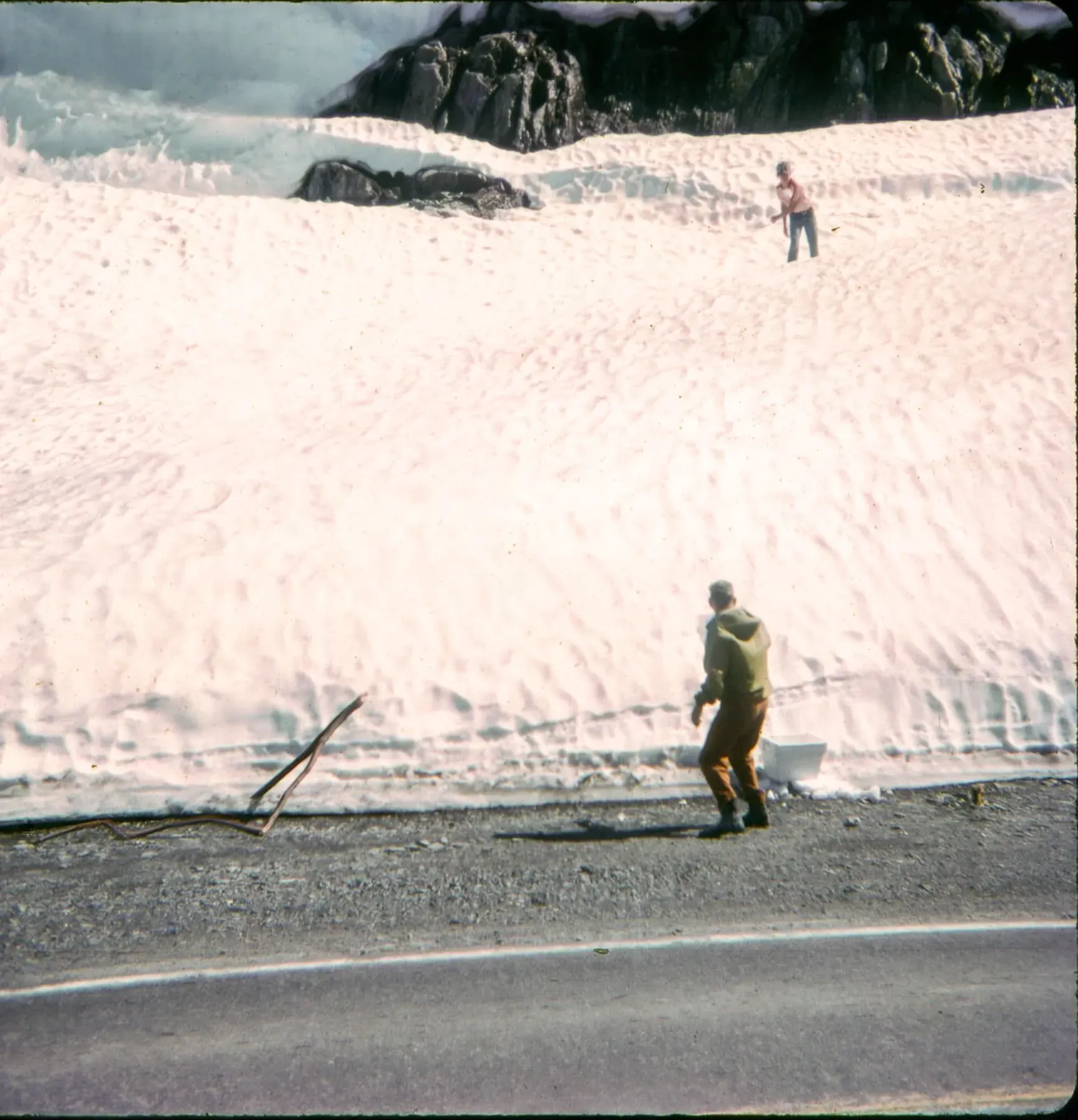
I imagine that for my grandparents and their traveling companions, who'd lived in Texas most of their lives, had never seen this much snow and had to stop and play in it a bit:
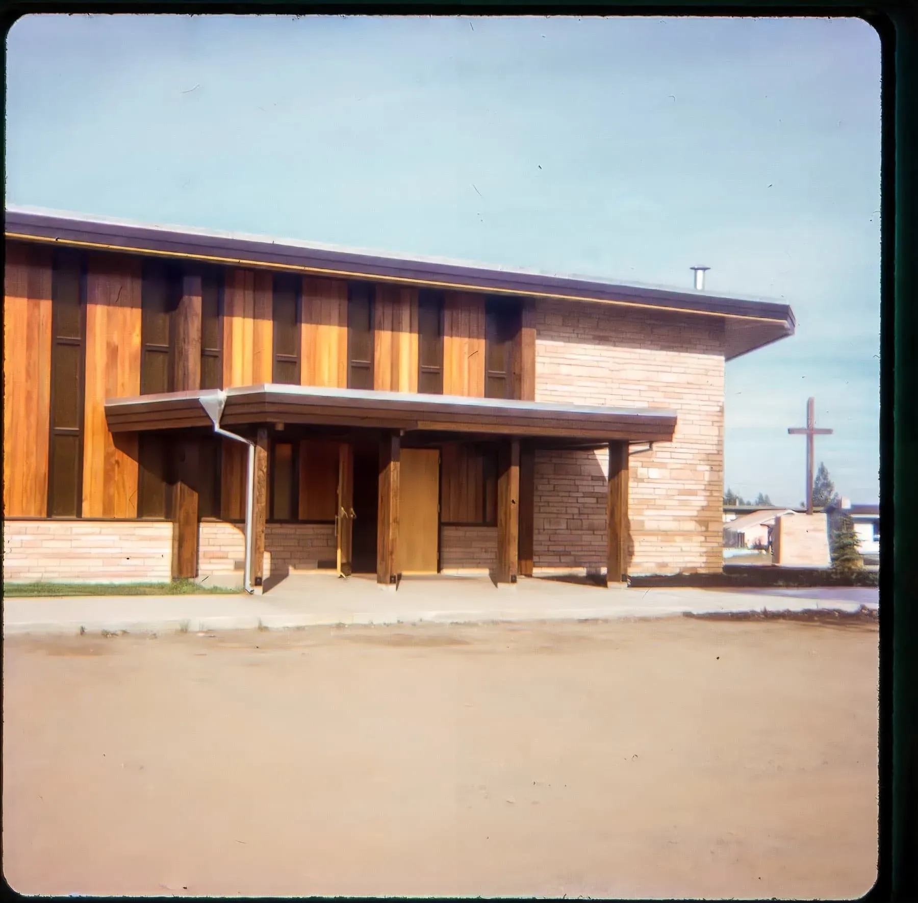
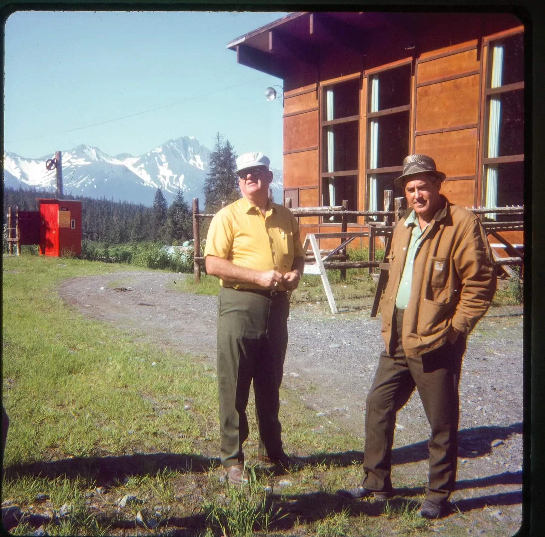
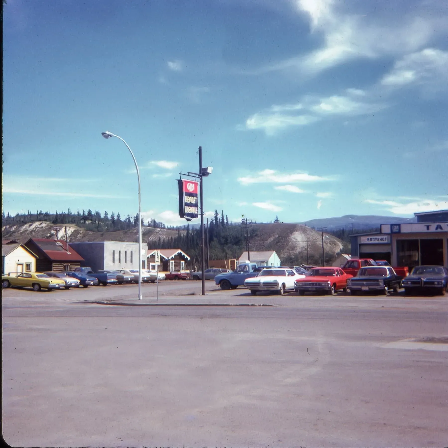
The rest of the images are completely unclassifiable as to their location. I suspect someone who's not me could identify where the GM dealership was or where the lodge-looking building was or the location of some of the others, but nothing I can find makes it possible for me to ascertain their locale.